UN/LOCODE hub · Argentina
ARSAO

San Antonio de Areco

-34.2500°, -59.4667°
1
Transport functions

Transport Functions

Multimodal
UN/LOCODE

Hub Profile

Place type
Provincial seat
GeoNames
Region
Buenos Aires
GeoNames
Time zone
America/Argentina/Buenos_Aires
GeoNames
Elevation
35 m
GeoNames

Location

Location of ARSAO
Natural Earth 10m (public domain) · Buenos Aires · ARSAO · -34.25, -59.47GoogleOSMYandex

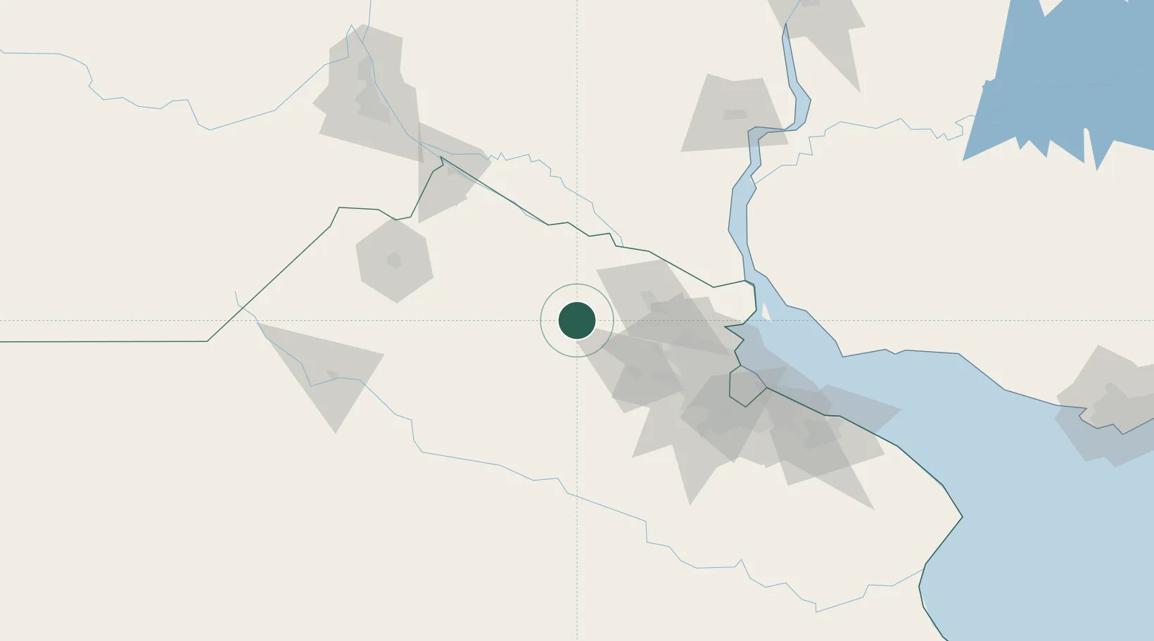
Nearby Logistics Neighbours

Cities
  1. 1San Andrés de Giles22 km
  2. 2Capilla del Señor34 km
  3. 3Ireneo Portela37 km
  4. 4Las Palmas40 km
  5. 5Zárate43 km
Nearest neighbours — logibook spatial index (haversine) over the source coordinates
Ports
  1. 1Zarate44 km
  2. 2Campana47 km
  3. 3Puerto Ibicuy61 km
  4. 4San Pedro81 km
  5. 5Ramallo99 km
Nearest neighbours — logibook spatial index (haversine) over the source coordinates
Airports
  1. 1San Fernando Airport84 km
  2. 2El Palomar Airport88 km
  3. 3Aeroparque Jorge Newbery102 km
  4. 4Ezeiza International Airport - Ministro Pistarini106 km
  5. 5(Duplicate)Aeropuerto Pergamino109 km
Nearest neighbours — logibook spatial index (haversine) over the source coordinates
Trade Zones
  1. 1Zona Sur Buenos Aires99 km
  2. 2Nueva Palmira Free Zone105 km
  3. 3Montes de Plata Free Zone130 km
  4. 4Colonia Free Zone152 km
  5. 5La Plata Free Trade Zone158 km
Nearest neighbours — logibook spatial index (haversine) over the source coordinates
DatabookThe Record of Consolidated Knowledge
Argentina beyond logistics?
Browse databook

All Sources

LocationsUN/LOCODE
UN/LOCODE — free
Portsthe NGA World Port Index
Public domain (US gov)
AirportsOurAirports
Public domain
Trade Zonesthe World Bank SEZ database
CC BY 4.0
Trade ZonesOpen Zone Map
CC BY
← Argentina locations