UN/LOCODE hub · Albania
ALVOA

Vlorë

40.4667°, 19.4833°
115,261
Population
1
Transport functions

Transport Functions

Port
Vlorë is also a profiled seaport →
UN/LOCODE

Hub Profile

Place type
Regional capital
GeoNames
Region
Vlorë County
GeoNames
Population
115,261
GeoNames
Time zone
Europe/Tirane
GeoNames
Elevation
58 m
GeoNames

Location

Location of ALVOA
Natural Earth 10m (public domain) · Vlorë County · ALVOA · 40.47, 19.48GoogleOSMYandex

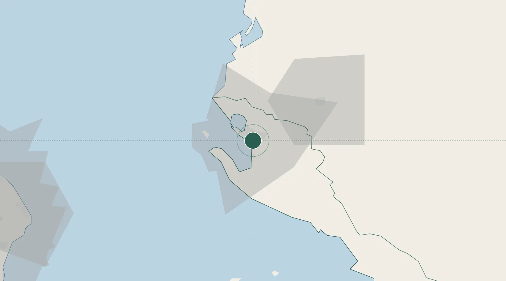
Nearby Logistics Neighbours

Cities
  1. 1Fier31 km
  2. 2Himare42 km
  3. 3Berat48 km
  4. 4Ereikousses Diapontioi Islands67 km
  5. 5Othonoí69 km
Nearest neighbours — logibook spatial index (haversine) over the source coordinates
Ports
  1. 1Otranto91 km
  2. 2Durres95 km
  3. 3Kerkira102 km
  4. 4Porto Romano102 km
  5. 5Brindisi128 km
Nearest neighbours — logibook spatial index (haversine) over the source coordinates
Airports
  1. 1Kuçovë Air Base49 km
  2. 2Corfu Ioannis Kapodistrias International Airport103 km
  3. 3Tirana International Airport Mother Teresa107 km
  4. 4Lecce Galatina Air Base / Galatina Fortunato Cesari Airport117 km
  5. 5Brindisi Airport132 km
Nearest neighbours — logibook spatial index (haversine) over the source coordinates
Trade Zones
  1. 1Vlora Technical and Economic Development Area4 km
  2. 2Fier Freezone29 km
  3. 3Gjirokastër Freezone73 km
  4. 4Përmet Freezone78 km
  5. 5Elbasan Industrial Park83 km
Nearest neighbours — logibook spatial index (haversine) over the source coordinates
DatabookThe Record of Consolidated Knowledge
Albania beyond logistics?
Browse databook

All Sources

LocationsUN/LOCODE
UN/LOCODE — free
LocationsGeoNames
CC BY 4.0
Portsthe NGA World Port Index
Public domain (US gov)
AirportsOurAirports
Public domain
Trade Zonesthe World Bank SEZ database
CC BY 4.0
Trade ZonesOpen Zone Map
CC BY
← Albania locations