Transport Functions
Rail
Road
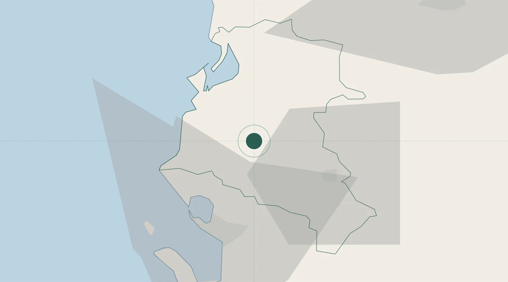
Hub Profile
Place type
Regional capital
Region
Fier County
Population
56,297
Time zone
Europe/Tirane
Elevation
28 m
Location
Nearby Logistics Neighbours
DatabookThe Record of Consolidated Knowledge
Albania beyond logistics?