Transport Functions
Road
Multimodal
Hub Profile
Place type
Regional capital
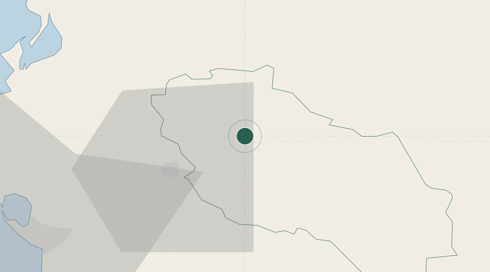
Region
Berat County
Population
62,232
Time zone
Europe/Tirane
Elevation
66 m
Location
Nearby Logistics Neighbours
Cities
- 1Fier32 km
- 2Elbasan44 km
- 3Vlorë48 km
- 4Himare68 km
- 5Gjirokastër72 km
Ports
- 1Vlore47 km
- 2Durres79 km
- 3Porto Romano87 km
- 4Kerkira122 km
- 5Shengjin126 km
Airports
Trade Zones
- 1Fier Freezone32 km
- 2Elbasan Industrial Park42 km
- 3Vlora Technical and Economic Development Area50 km
- 4Pogradec Freezone63 km
- 5Përmet Freezone63 km
DatabookThe Record of Consolidated Knowledge
Albania beyond logistics?