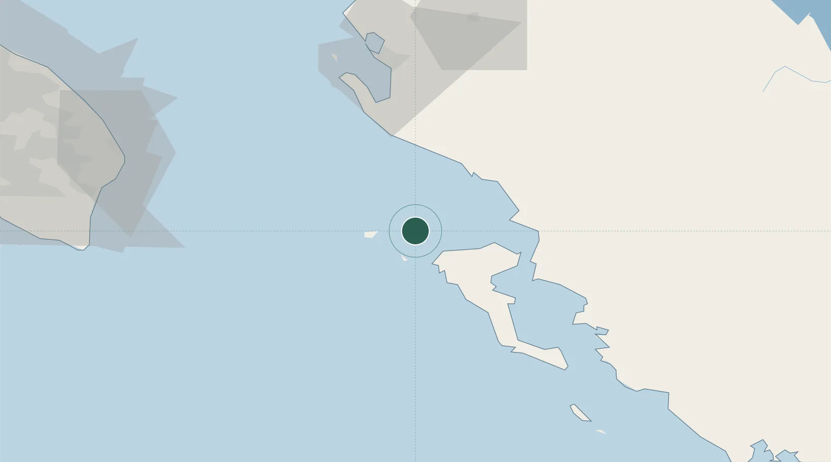
UN/LOCODE hub · Greece
GRERK

Ereikousses Diapontioi Islands

39.8667°, 19.5667°
1
Transport functions

Transport Functions

Port
UN/LOCODE

Location

Location of GRERK
Natural Earth 10m (public domain) · Vlorë · GRERK · 39.87, 19.57GoogleOSMYandex

Nearby Logistics Neighbours

Cities
  1. 1Mathraki Diapontioi Island10 km
  2. 2Othonoí14 km
  3. 3Agios Stefanos Avliotes15 km
  4. 4Ypsos29 km
  5. 5Kassiopis31 km
Nearest neighbours — logibook spatial index (haversine) over the source coordinates
Ports
  1. 1Kerkira42 km
  2. 2Vlore67 km
  3. 3Otranto97 km
  4. 4Gallipoli137 km
  5. 5Preveza144 km
Nearest neighbours — logibook spatial index (haversine) over the source coordinates
Airports
  1. 1Corfu Ioannis Kapodistrias International Airport42 km
  2. 2Kuçovë Air Base105 km
  3. 3Ioannina King Pyrrhus National Airport109 km
  4. 4Lecce Galatina Air Base / Galatina Fortunato Cesari Airport129 km
  5. 5Aktion National Airport147 km
Nearest neighbours — logibook spatial index (haversine) over the source coordinates
Trade Zones
  1. 1Gjirokastër Freezone55 km
  2. 2Vlora Technical and Economic Development Area70 km
  3. 3Përmet Freezone79 km
  4. 4Fier Freezone94 km
  5. 5Korçë Freezone135 km
Nearest neighbours — logibook spatial index (haversine) over the source coordinates
DatabookThe Record of Consolidated Knowledge
Greece beyond logistics?
Browse databook

All Sources

LocationsUN/LOCODE
UN/LOCODE — free
Portsthe NGA World Port Index
Public domain (US gov)
AirportsOurAirports
Public domain
Trade Zonesthe World Bank SEZ database
CC BY 4.0
Trade ZonesOpen Zone Map
CC BY
← Greece locations