Large airport · Albania

Tirana International Airport Mother TeresaLATI
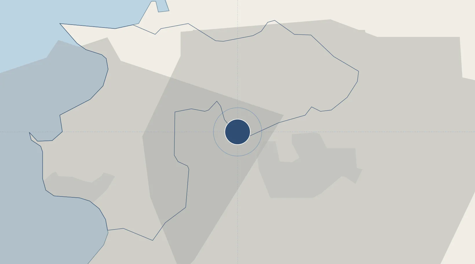
41.4147°, 19.7206°
9,009 ft
Longest runway
1
Runways
126 ft
Elevation

Runway & Layout

Tirana International Airport Mother Teresa runway & taxiway layout
Runway & taxiway layout — OpenStreetMap (ODbL) / OurAirports

Radio Frequencies

TWR
122.5 MHz
APP
133.15 MHz
ACC
127.5 MHz
OurAirports

Navaids

TR NDB Tirana 290 kHz
TRN VOR-DME Tirana 117.70 MHz
OurAirports

Runways · 1

RunwayDimensions SurfaceTrue headingLit
17/35 9,009 × 148ft Asphalt 174°
OurAirports

Airport Specifications

IATA code
TIA
OurAirports
ICAO code
LATI
OurAirports
Airport class
Large airport
OurAirports
Scheduled service
Yes
OurAirports
Runway surface
Asphalt
OurAirports
Served city
Rinas
OurAirports

Location

Location of LATI
Natural Earth 10m (public domain) · Durrës · LATI · 41.41, 19.72GoogleOSMYandex

Nearby Logistics Neighbours

Airports
  1. 1Kuçovë Air Base73 km
  2. 2Ohrid St. Paul the Apostle Airport89 km
  3. 3Kukës International Airport90 km
  4. 4Podgorica Airport / Podgorica Golubovci Airbase112 km
  5. 5Tivat Airport138 km
Nearest neighbours — logibook spatial index (haversine) over the source coordinates
Cities
  1. 1Durrës24 km
  2. 2Romano Port26 km
  3. 3Shëngjin45 km
  4. 4Elbasan45 km
  5. 5Shkozet70 km
Nearest neighbours — logibook spatial index (haversine) over the source coordinates
Ports
  1. 1Durres25 km
  2. 2Porto Romano26 km
  3. 3Shengjin46 km
  4. 4Bar91 km
  5. 5Vlore107 km
Nearest neighbours — logibook spatial index (haversine) over the source coordinates
Trade Zones
  1. 1Tirana Freezone5 km
  2. 2Spitalle Spitalla Technical and Economic Development Area24 km
  3. 3Porto Romano Free Port Zone25 km
  4. 4Lezhë Industrial Park43 km
  5. 5Elbasan Industrial Park44 km
Nearest neighbours — logibook spatial index (haversine) over the source coordinates
DatabookThe Record of Consolidated Knowledge
Albania beyond logistics?
Browse databook

All Sources

AirportsOurAirports
Public domain
Portsthe NGA World Port Index
Public domain (US gov)
LocationsUN/LOCODE
UN/LOCODE — free
Trade Zonesthe World Bank SEZ database
CC BY 4.0
Trade ZonesOpen Zone Map
CC BY
InfrastructureOpenStreetMap
ODbL 1.0
← Albania airports