Channel & Berth Profile
Pilotage, Tugs & Services
Pilotage compulsoryYES
Pilotage availableYES
Pilotage advisableYES
Tug assistanceYES
Salvage tugsNO
Potable waterYES
Diesel bunkersYES
MedicalYES
Facilities & Capabilities
Container—
Ro-Ro—
Liquid bulk—
Dry bulk—
Oil terminal—
Break bulk—
Dry dockNO
RepairsNO
Bunkering—
Rail link—
Dangerous cargo—
ISPS security—
Harbour Specifications
Harbour size
Medium
Harbour type
Open Roadstead
Shelter
Good
Water body
Ionian Sea; Mediterranean Sea; North Atlantic Ocean
Tidal range
1 m
Overhead limit
No
Pilotage
Yes
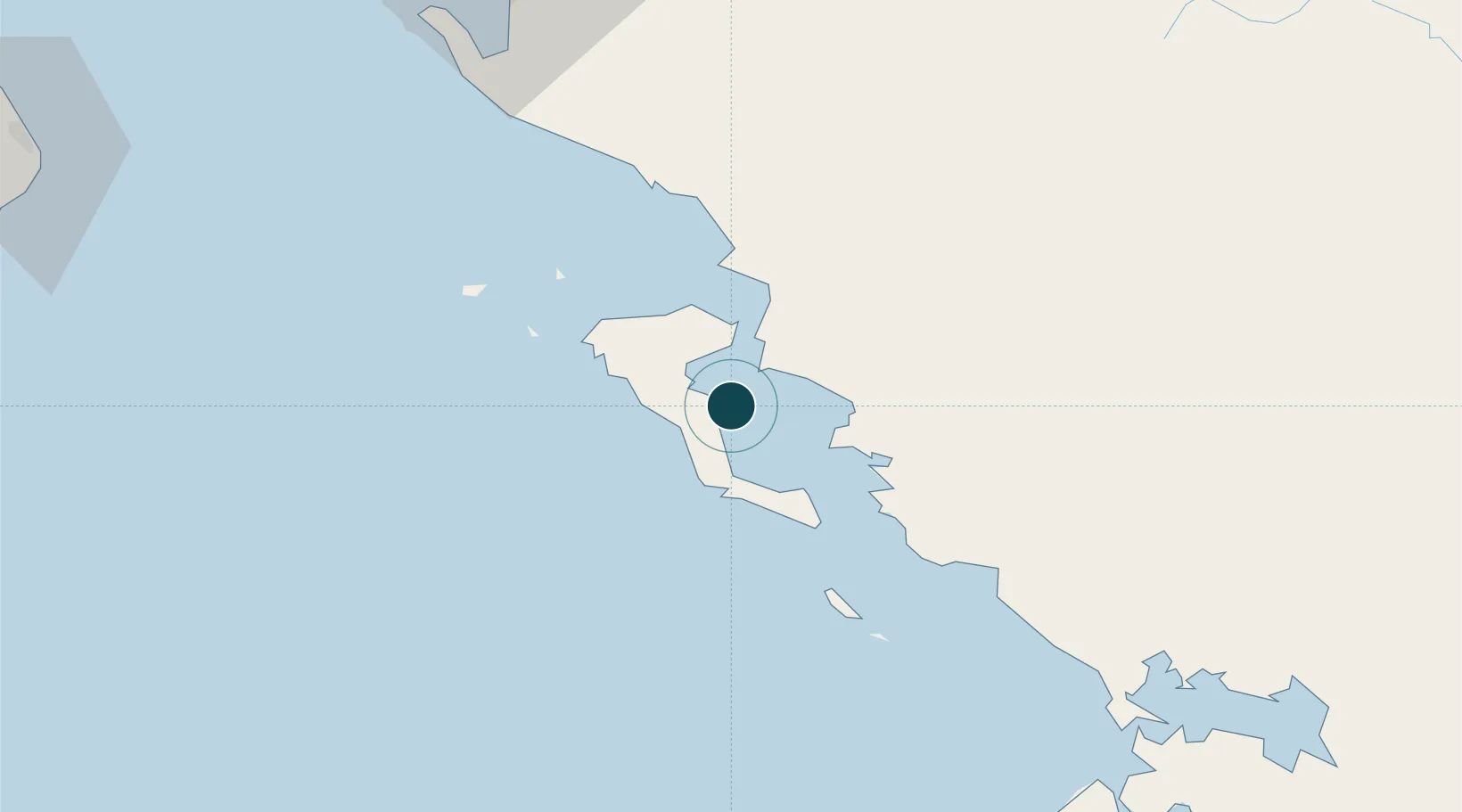
Location
Nearby Logistics Neighbours
Ports
- 1Vlore102 km
- 2Preveza102 km
- 3Otranto137 km
- 4Astakos161 km
- 5Argostolion167 km
Airports
Trade Zones
- 1Gjirokastër Freezone54 km
- 2Përmet Freezone78 km
- 3Vlora Technical and Economic Development Area105 km
- 4Fier Freezone126 km
- 5Korçë Freezone135 km
DatabookThe Record of Consolidated Knowledge
Greece beyond logistics?