Seaport · Albania
DurresALDRZ
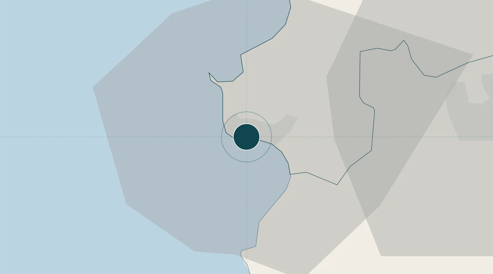
41.3167°, 19.4500°
7.9 m
Channel depth
1
Container terminals
26.1
Port liner connectivity
Channel & Berth Profile
Pilotage, Tugs & Services
Pilotage compulsoryYES
Pilotage availableYES
Tug assistanceYES
Salvage tugsYES
Potable waterYES
Diesel bunkersYES
MedicalYES
Garbage disposalYES
Facilities & Capabilities
Container—
Ro-Ro—
Liquid bulk—
Dry bulk—
Oil terminal—
Break bulk—
Dry dockNO
RepairsNO
BunkeringYES
Rail linkYES
Dangerous cargo—
ISPS security—
Harbour Specifications
Harbour size
Small
Harbour type
Coastal (Breakwater)
Shelter
Fair
Water body
Adriatic Sea; Mediterranean Sea; North Atlantic Ocean
Tidal range
1 m
Overhead limit
No
Pilotage
Yes
Liner Connectivity
26.1
PLSCI
Port Liner Shipping Connectivity Index for Durres, as published by UNCTAD for the latest available quarter. Higher values indicate stronger scheduled liner-shipping integration.
Shown relative to the highest per-port PLSCI in the dataset (1,657.9).
Location
Container Terminals · 1
DURRES CONTAINER TERMINAL
DCT DURRES CONTAINER TERMINAL SH.A.
Nearby Logistics Neighbours
Ports
- 1Porto Romano8 km
- 2Shengjin57 km
- 3Bar91 km
- 4Vlore95 km
- 5Kotor135 km
Cities
- 1Romano Port6 km
- 2Shëngjin55 km
- 3Elbasan57 km
- 4Fier66 km
- 5Ulcinj70 km
Airports
Trade Zones
DatabookThe Record of Consolidated Knowledge
Albania beyond logistics?