Transport Functions
Port
Road
Hub Profile
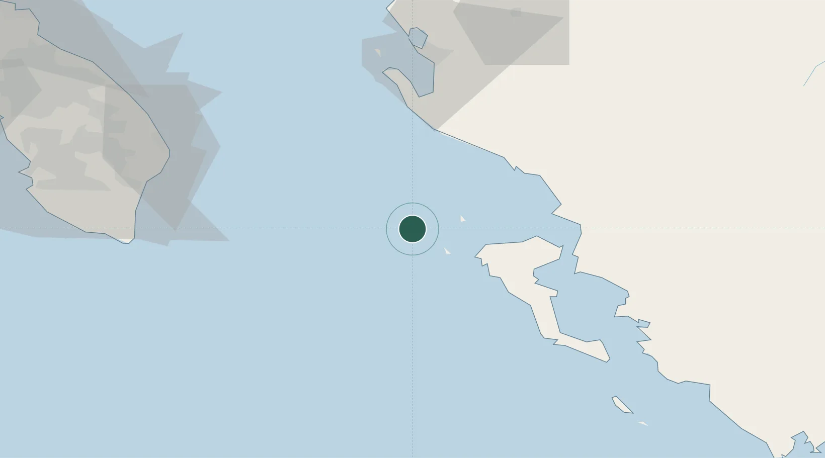
Place type
Populated place
Region
Ionian Islands
Population
761
Time zone
Europe/Athens
Elevation
9 m
Location
Nearby Logistics Neighbours
Cities
- 1Mathraki Diapontioi Island12 km
- 2Ereikousses Diapontioi Islands14 km
- 3Agios Stefanos Avliotes24 km
- 4Ypsos41 km
- 5Himare42 km
Airports
Trade Zones
- 1Gjirokastër Freezone69 km
- 2Vlora Technical and Economic Development Area71 km
- 3Përmet Freezone92 km
- 4Fier Freezone97 km
- 5Elbasan Industrial Park147 km
DatabookThe Record of Consolidated Knowledge
Greece beyond logistics?