Specialized Zone · Albania

Elbasan Industrial Park Inactive
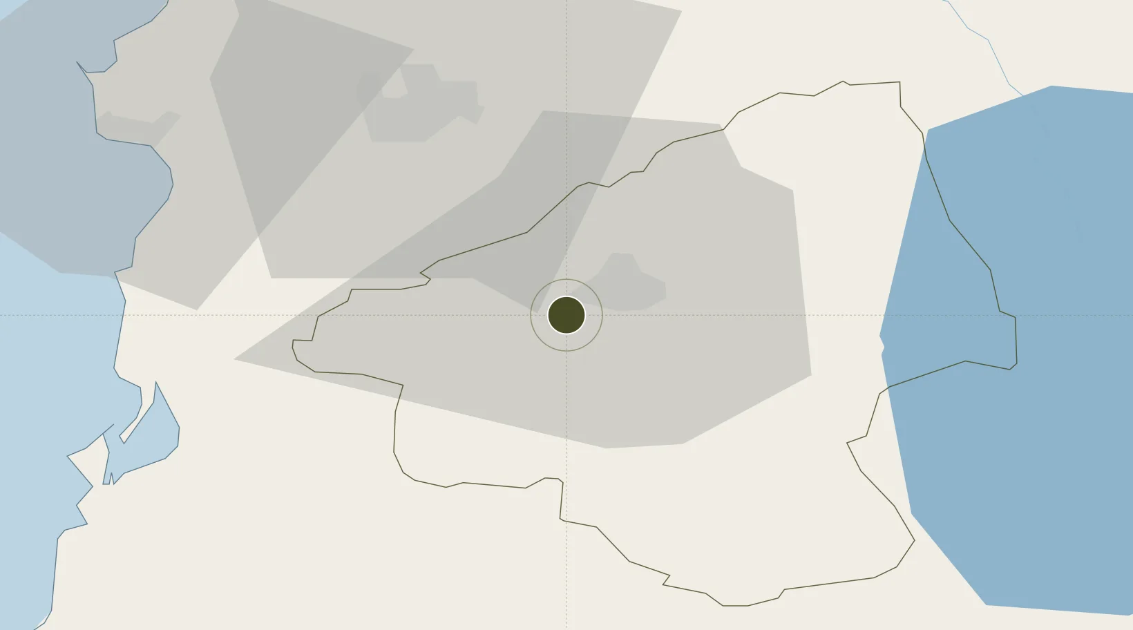
41.0889°, 20.0215°
254 ha
Zone area
54.1 km
Nearest port
36.6 km
Nearest airport

Gateway access

Nearest neighbours — logibook spatial index (haversine) over the source coordinates

Zone profile

Zone type
Specialized Zone
Open Zone Map
Specialization
Energy
Open Zone Map
Region
Elbasan
Open Zone Map
Status
Inactive
Open Zone Map
Management
Private
Open Zone Map
Operator
Delmon Group
Open Zone Map
Legal framework
Law No. 7764 Dated 02.11.1993, Law No. 55/2015, Law No. 9789 Dated 19.07.2007, Dcm 646: 22.07.2015, Dcm 647: 22.07.2015
Open Zone Map

Location

Location of ozm-29
Natural Earth 10m (public domain) · Elbasan · ozm-29 · 41.09, 20.02GoogleOSMYandex

Nearby Logistics Neighbours

Ports
  1. 1Durres54 km
  2. 2Porto Romano60 km
  3. 3Vlore82 km
  4. 4Shengjin88 km
  5. 5Bar135 km
Nearest neighbours — logibook spatial index (haversine) over the source coordinates
Airports
  1. 1Kuçovë Air Base37 km
  2. 2Tirana International Airport Mother Teresa44 km
  3. 3Ohrid St. Paul the Apostle Airport61 km
  4. 4Kukës International Airport110 km
  5. 5Kastoria National Airport Aristotle128 km
Nearest neighbours — logibook spatial index (haversine) over the source coordinates
Cities
  1. 1Elbasan4 km
  2. 2Berat42 km
  3. 3Fier55 km
  4. 4Durrës55 km
  5. 5Romano Port59 km
Nearest neighbours — logibook spatial index (haversine) over the source coordinates
Trade Zones
  1. 1Tirana Freezone40 km
  2. 2Spitalle Spitalla Technical and Economic Development Area55 km
  3. 3Fier Freezone56 km
  4. 4Pogradec Freezone58 km
  5. 5Porto Romano Free Port Zone59 km
Nearest neighbours — logibook spatial index (haversine) over the source coordinates
DatabookThe Record of Consolidated Knowledge
Albania beyond logistics?
Browse databook

All Sources

Trade ZonesOpen Zone Map
CC BY
Portsthe NGA World Port Index
Public domain (US gov)
AirportsOurAirports
Public domain
LocationsUN/LOCODE
UN/LOCODE — free
← Albania trade zones