Transport Functions
Port
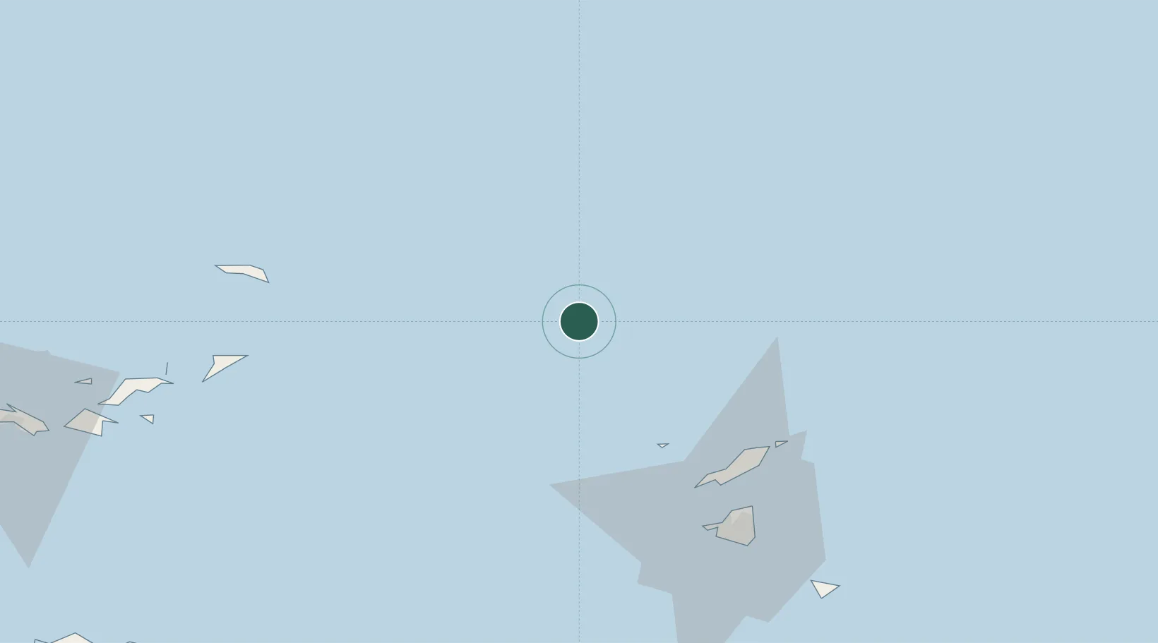
Location
Nearby Logistics Neighbours
Cities
- 1Meads Bay Beach60 km
- 2Marigot70 km
- 3Sint-Maarten Apt71 km
- 4Galisbay72 km
- 5Marigot72 km
Ports
- 1Philipsburg78 km
- 2Gustavia102 km
- 3Road Harbor123 km
- 4Oranjestad134 km
- 5Cruz Bay144 km
Airports
Trade Zones
- 1Free Trade & Processing Zone239 km
- 2Antigua and Barbuda Special Economic Zone (ABSEZ)247 km
- 3FTZ No. 061 San Juan282 km
- 4FTZ No. 163 Ponce332 km
- 5FTZ No. 007 Mayaguez393 km
DatabookThe Record of Consolidated Knowledge
Anguilla beyond logistics?