Medium airport · British Virgin Islands

Virgin Gorda AirportTUPW
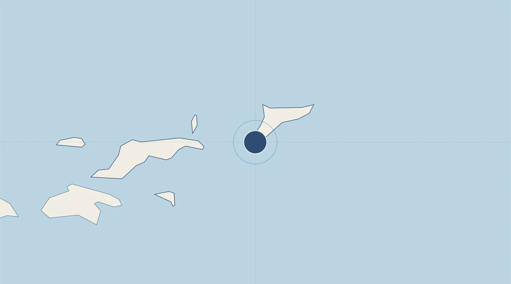
18.4466°, -64.4279°
3,100 ft
Longest runway
1
Runways
9 ft
Elevation

Runway & Layout

Virgin Gorda Airport runway & taxiway layout
Runway & taxiway layout — OpenStreetMap (ODbL) / OurAirports

Runways · 1

RunwayDimensions SurfaceTrue headingLit
03/21 3,100 × 98ft GRAVEL
OurAirports

Airport Specifications

IATA code
VIJ
OurAirports
ICAO code
TUPW
OurAirports
Airport class
Medium airport
OurAirports
Scheduled service
Yes
OurAirports
Runway surface
GRAVEL
OurAirports
Served city
Spanish Town
OurAirports

Location

Location of TUPW
Natural Earth 10m (public domain) · British Virgin Islands · TUPW · 18.45, -64.43GoogleOSMYandex

Nearby Logistics Neighbours

Airports
  1. 1Terrance B. Lettsome International Airport12 km
  2. 2Charlotte Amalie Harbor Seaplane Base55 km
  3. 3Cyril E. King Airport59 km
  4. 4Christiansted Harbor Seaplane Base83 km
  5. 5Henry E. Rohlsen Airport92 km
Nearest neighbours — logibook spatial index (haversine) over the source coordinates
Cities
  1. 1Port Purcell19 km
  2. 2Road Town20 km
  3. 3Norman Island25 km
  4. 4Sopers Hole30 km
  5. 5Jost Van Dyke32 km
Nearest neighbours — logibook spatial index (haversine) over the source coordinates
Ports
  1. 1Road Harbor20 km
  2. 2Cruz Bay41 km
  3. 3Charlotte Amalie54 km
  4. 4Christiansted83 km
  5. 5Limetree Bay90 km
Nearest neighbours — logibook spatial index (haversine) over the source coordinates
Trade Zones
  1. 1FTZ No. 061 San Juan180 km
  2. 2FTZ No. 163 Ponce229 km
  3. 3FTZ No. 007 Mayaguez290 km
  4. 4Free Trade & Processing Zone314 km
  5. 5Antigua and Barbuda Special Economic Zone (ABSEZ)321 km
Nearest neighbours — logibook spatial index (haversine) over the source coordinates
DatabookThe Record of Consolidated Knowledge
British Virgin Islands beyond logistics?
Browse databook

All Sources

AirportsOurAirports
Public domain
Portsthe NGA World Port Index
Public domain (US gov)
LocationsUN/LOCODE
UN/LOCODE — free
Trade Zonesthe World Bank SEZ database
CC BY 4.0
Trade ZonesOpen Zone Map
CC BY
InfrastructureOpenStreetMap
ODbL 1.0
← British Virgin Islands airports