Small airport · China

Yutian Wanfang AirportZWYT
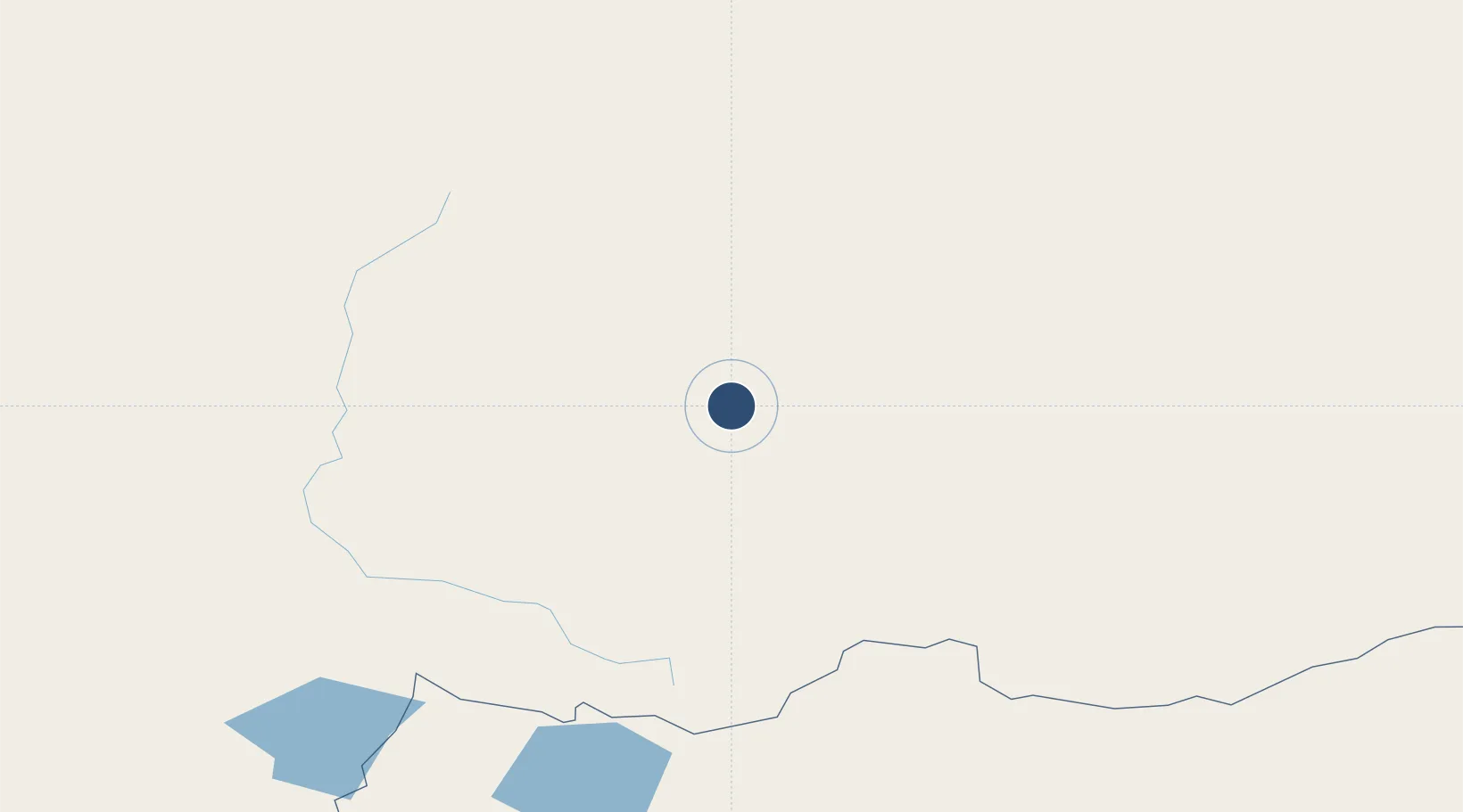
36.8085°, 81.7827°
10,499 ft
Longest runway
1
Runways
4,731 ft
Elevation

Runway & Layout

Yutian Wanfang Airport runway & taxiway layout
Runway & taxiway layout — OpenStreetMap (ODbL) / OurAirports

Runways · 1

RunwayDimensions SurfaceTrue headingLit
08/26 10,499 × 148ft
OurAirports

Airport Specifications

IATA code
YTW
OurAirports
ICAO code
ZWYT
OurAirports
Airport class
Small airport
OurAirports
Scheduled service
Yes
OurAirports
Served city
Hotan (Yutian)
OurAirports

Location

Location of ZWYT
Natural Earth 10m (public domain) · Xinjiang · ZWYT · 36.81, 81.78GoogleOSMYandex

Nearby Logistics Neighbours

Airports
  1. 1Hotan Airport172 km
  2. 2Qiemo Yudu Airport361 km
  3. 3Aral Tarim Airport406 km
  4. 4Tumxuk Tangwangcheng Airport408 km
  5. 5Shache Airport446 km
Nearest neighbours — logibook spatial index (haversine) over the source coordinates
Cities
  1. 1Dhar702 km
  2. 2Wysox720 km
  3. 3Bay Head764 km
  4. 4Talwara767 km
  5. 5Una779 km
Nearest neighbours — logibook spatial index (haversine) over the source coordinates
Ports
  1. 1Calcutta1706 km
  2. 2Haldia Port1753 km
  3. 3Mongla1763 km
  4. 4Dhamra1848 km
  5. 5Chittagong1878 km
Nearest neighbours — logibook spatial index (haversine) over the source coordinates
Trade Zones
  1. 1Pishan Three Gorges Industrial Park321 km
  2. 2Aksu Economic and Technological Development Zone497 km
  3. 3Yuepu Lake Taiyue Industrial Park515 km
  4. 4Corps Caohu Industrial Park578 km
  5. 5Atushi Industrial Park600 km
Nearest neighbours — logibook spatial index (haversine) over the source coordinates
DatabookThe Record of Consolidated Knowledge
China beyond logistics?
Browse databook

All Sources

AirportsOurAirports
Public domain
Portsthe NGA World Port Index
Public domain (US gov)
LocationsUN/LOCODE
UN/LOCODE — free
Trade Zonesthe World Bank SEZ database
CC BY 4.0
Trade ZonesOpen Zone Map
CC BY
InfrastructureOpenStreetMap
ODbL 1.0
← China airports