Runway & Layout

Runways · 1
| Runway | Dimensions | Surface | True heading | Lit |
|---|---|---|---|---|
| 01/19 | 9,186 × 148ft | Concrete | — | — |
Airport Specifications
IATA code
ACF
ICAO code
ZWAL
Airport class
Small airport
Scheduled service
Yes
Runway surface
Concrete
Served city
Aral
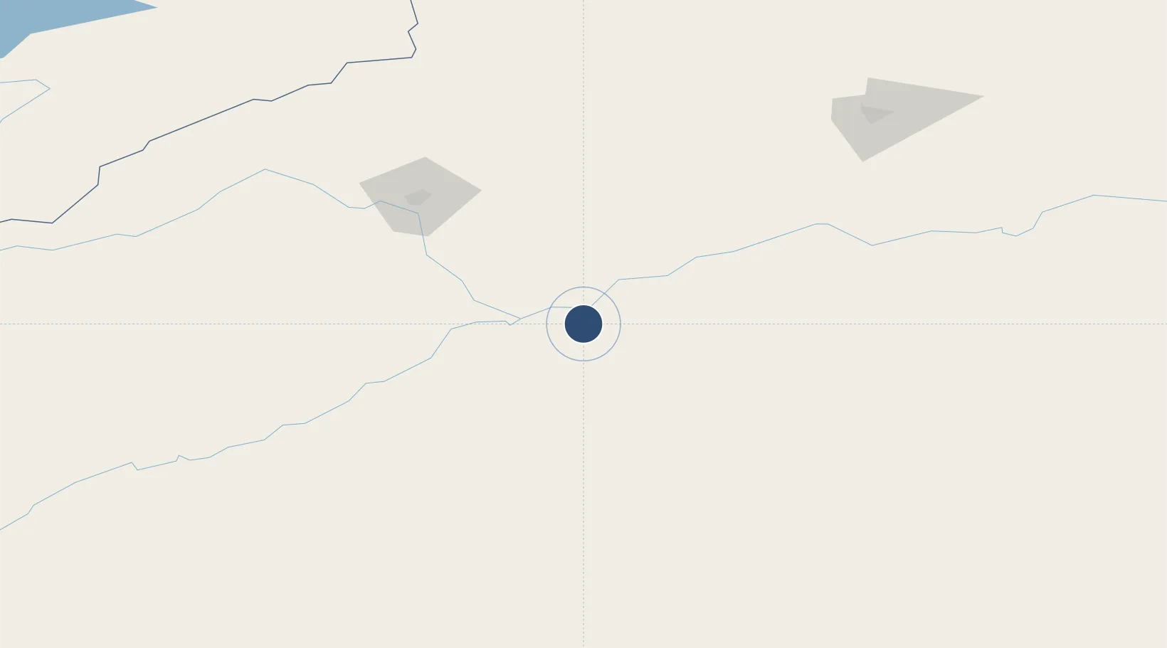
Location
Nearby Logistics Neighbours
Airports
- 1Aksu Hongqipo Airport123 km
- 2Tumxuk Tangwangcheng Airport183 km
- 3Kuqa Qiuci Airport193 km
- 4Zhaosu Tianma Airport295 km
- 5Karakol Airport331 km
Ports
- 1Calcutta2097 km
- 2Mongla2146 km
- 3Haldia Port2146 km
- 4Muhamamad Bin Qasim2170 km
- 5Karachi2189 km
Trade Zones
DatabookThe Record of Consolidated Knowledge
China beyond logistics?