Medium airport · China
Shache AirportZWSC
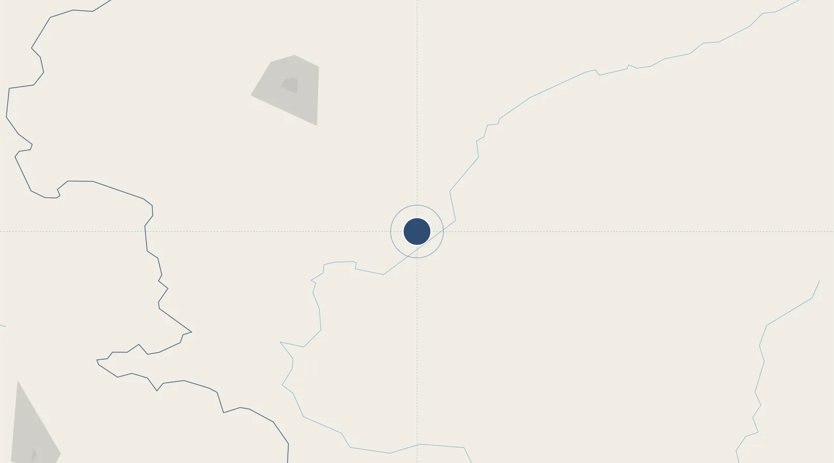
38.2454°, 77.0561°
9,842 ft
Longest runway
1
Runways
4,232 ft
Elevation
Runway & Layout

Runways · 1
| Runway | Dimensions | Surface | True heading | Lit |
|---|---|---|---|---|
| 15/33 | 9,842 × 148ft | — | — | — |
Airport Specifications
IATA code
QSZ
ICAO code
ZWSC
Airport class
Medium airport
Scheduled service
Yes
Served city
Shache
Location
Nearby Logistics Neighbours
Airports
- 1Tashikuergan Hongqilafu Airport168 km
- 2Kashgar Laining International Airport170 km
- 3Tumxuk Tangwangcheng Airport262 km
- 4Hotan Airport281 km
- 5Skardu International Airport350 km
Ports
- 1Muhamamad Bin Qasim1756 km
- 2Karachi1773 km
- 3Kandla1812 km
- 4Navlakhi1813 km
- 5Mundra1862 km
Trade Zones
DatabookThe Record of Consolidated Knowledge
China beyond logistics?