Small airport · China

Tumxuk Tangwangcheng AirportTWC
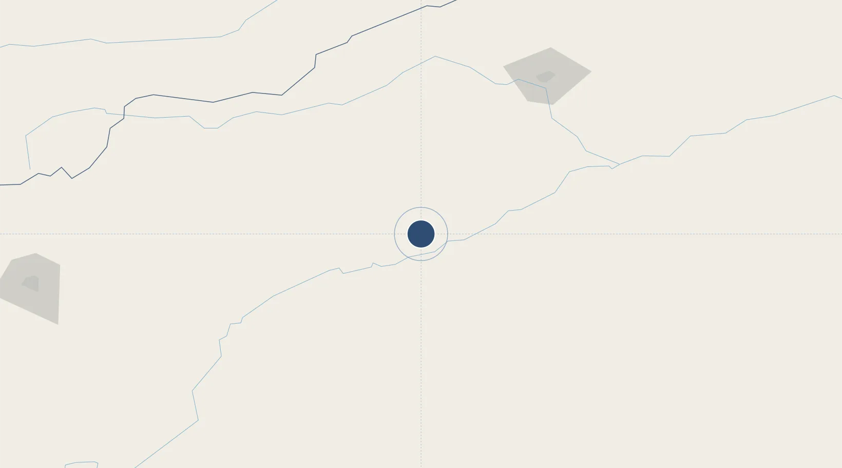
39.8867°, 79.2334°
8,530 ft
Longest runway
1
Runways
3,566 ft
Elevation

Runway & Layout

Tumxuk Tangwangcheng Airport runway & taxiway layout
Runway & taxiway layout — OpenStreetMap (ODbL) / OurAirports

Runways · 1

RunwayDimensions SurfaceTrue headingLit
02/20 8,530 × 148ft Concrete
OurAirports

Airport Specifications

IATA code
TWC
OurAirports
ICAO code
ZWTS
OurAirports
Airport class
Small airport
OurAirports
Scheduled service
Yes
OurAirports
Runway surface
Concrete
OurAirports
Served city
Tumxuk
OurAirports

Location

Location of TWC
Natural Earth 10m (public domain) · Xinjiang · TWC · 39.89, 79.23GoogleOSMYandex

Nearby Logistics Neighbours

Airports
  1. 1Aksu Hongqipo Airport177 km
  2. 2Aral Tarim Airport183 km
  3. 3Shache Airport262 km
  4. 4Kashgar Laining International Airport278 km
  5. 5Tamga Airport288 km
Nearest neighbours — logibook spatial index (haversine) over the source coordinates
Cities
  1. 1Wysox317 km
  2. 2Almaty426 km
  3. 3Bay Head442 km
  4. 4Yining481 km
  5. 5Horgos481 km
Nearest neighbours — logibook spatial index (haversine) over the source coordinates
Ports
  1. 1Muhamamad Bin Qasim2014 km
  2. 2Karachi2031 km
  3. 3Navlakhi2056 km
  4. 4Kandla2057 km
  5. 5Mundra2109 km
Nearest neighbours — logibook spatial index (haversine) over the source coordinates
Trade Zones
  1. 1Aksu Economic and Technological Development Zone157 km
  2. 2Yuepu Lake Taiyue Industrial Park221 km
  3. 3Pishan Three Gorges Industrial Park271 km
  4. 4Atushi Industrial Park282 km
  5. 5Corps Caohu Industrial Park288 km
Nearest neighbours — logibook spatial index (haversine) over the source coordinates
DatabookThe Record of Consolidated Knowledge
China beyond logistics?
Browse databook

All Sources

AirportsOurAirports
Public domain
Portsthe NGA World Port Index
Public domain (US gov)
LocationsUN/LOCODE
UN/LOCODE — free
Trade Zonesthe World Bank SEZ database
CC BY 4.0
Trade ZonesOpen Zone Map
CC BY
InfrastructureOpenStreetMap
ODbL 1.0
← China airports