Small airport · China

Kuqa Qiuci AirportZWKC
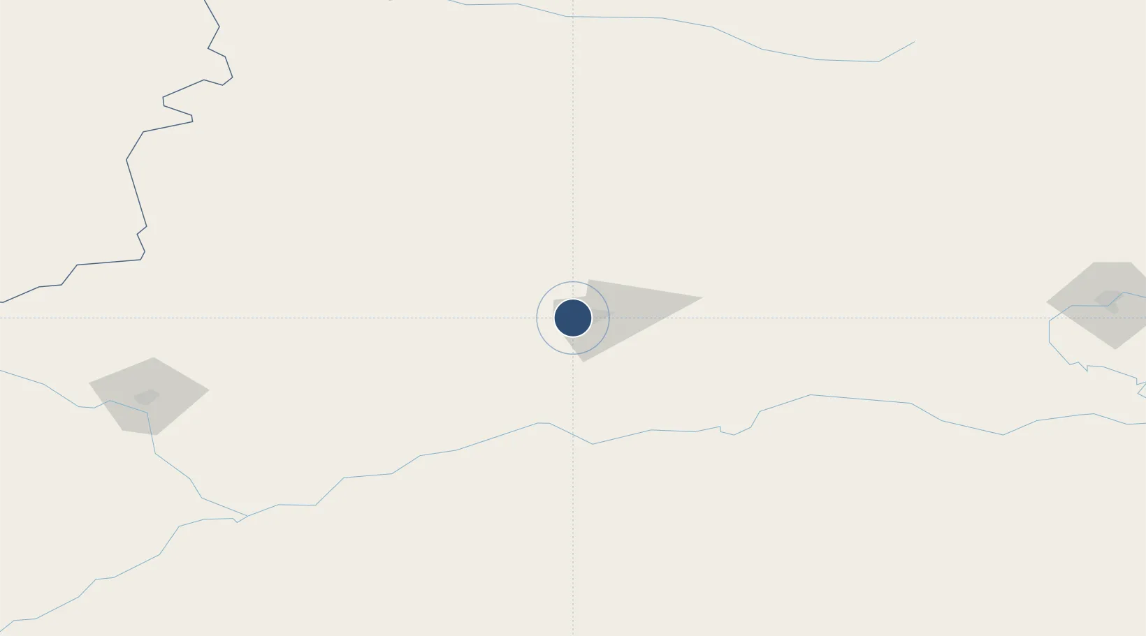
41.6779°, 82.8729°
8,530 ft
Longest runway
1
Runways
3,524 ft
Elevation

Runway & Layout

Kuqa Qiuci Airport runway & taxiway layout
Runway & taxiway layout — OpenStreetMap (ODbL) / OurAirports

Runways · 1

RunwayDimensions SurfaceTrue headingLit
08/26 8,530 × —ft Asphalt 083°
OurAirports

Airport Specifications

IATA code
KCA
OurAirports
ICAO code
ZWKC
OurAirports
Airport class
Small airport
OurAirports
Scheduled service
Yes
OurAirports
Runway surface
Asphalt
OurAirports
Served city
Kuqa
OurAirports

Location

Location of ZWKC
Natural Earth 10m (public domain) · Xinjiang · ZWKC · 41.68, 82.87GoogleOSMYandex

Nearby Logistics Neighbours

Airports
  1. 1Hejing Bayinbuluke Airport171 km
  2. 2Aral Tarim Airport193 km
  3. 3Xinyuan Nalati Airport199 km
  4. 4Zhaosu Tianma Airport207 km
  5. 5Aksu Hongqipo Airport220 km
Nearest neighbours — logibook spatial index (haversine) over the source coordinates
Cities
  1. 1Yining279 km
  2. 2Horgos312 km
  3. 3Dushanzi336 km
  4. 4Alatawshankou391 km
  5. 5Alashankou392 km
Nearest neighbours — logibook spatial index (haversine) over the source coordinates
Ports
  1. 1Calcutta2187 km
  2. 2Mongla2226 km
  3. 3Haldia Port2240 km
  4. 4Chittagong2309 km
  5. 5Dhamra2351 km
Nearest neighbours — logibook spatial index (haversine) over the source coordinates
Trade Zones
  1. 1Aksu Economic and Technological Development Zone234 km
  2. 2Yinan Industrial Park252 km
  3. 3Hejing Industrial Park299 km
  4. 4Xinjiang Huocheng Economic Development Zone310 km
  5. 5Jinghe Industrial Park322 km
Nearest neighbours — logibook spatial index (haversine) over the source coordinates
DatabookThe Record of Consolidated Knowledge
China beyond logistics?
Browse databook

All Sources

AirportsOurAirports
Public domain
Portsthe NGA World Port Index
Public domain (US gov)
LocationsUN/LOCODE
UN/LOCODE — free
Trade Zonesthe World Bank SEZ database
CC BY 4.0
Trade ZonesOpen Zone Map
CC BY
InfrastructureOpenStreetMap
ODbL 1.0
← China airports