Medium airport · China

Dazhou Jinya AirportZUDA
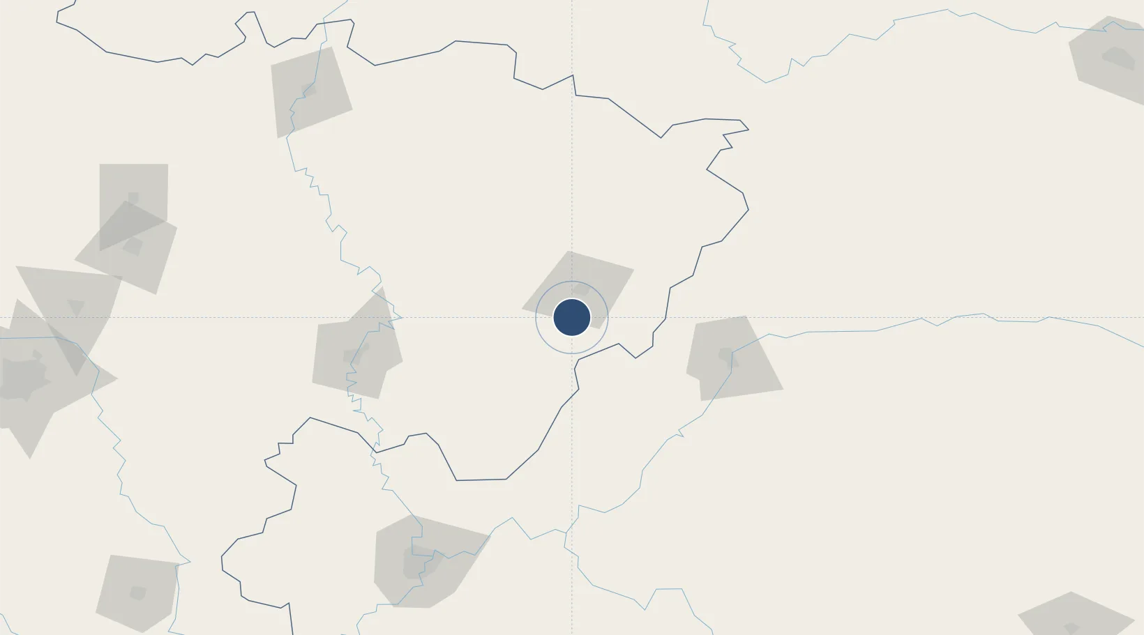
31.0488°, 107.4356°
8,530 ft
Longest runway
1
Runways
1,342 ft
Elevation

Runway & Layout

Dazhou Jinya Airport runway & taxiway layout
Runway & taxiway layout — OpenStreetMap (ODbL) / OurAirports

Runways · 1

RunwayDimensions SurfaceTrue headingLit
02/20 8,530 × —ft
OurAirports

Airport Specifications

IATA code
DZH
OurAirports
ICAO code
ZUDA
OurAirports
Airport class
Medium airport
OurAirports
Scheduled service
Yes
OurAirports
Served city
Dazhou (Dachuan)
OurAirports

Location

Location of ZUDA
Natural Earth 10m (public domain) · Sichuan · ZUDA · 31.05, 107.44GoogleOSMYandex

Nearby Logistics Neighbours

Airports
  1. 1Dachuan Airport9 km
  2. 2Wanzhou Wuqiao Airport99 km
  3. 3Bazhong Enyang Airport107 km
  4. 4Nanchong Gaoping Airport124 km
  5. 5Langzhong Gucheng Airport142 km
Nearest neighbours — logibook spatial index (haversine) over the source coordinates
Cities
  1. 1Fuling147 km
  2. 2Chongqing179 km
  3. 3Suining191 km
  4. 4Enshi214 km
  5. 5Mianyang265 km
Nearest neighbours — logibook spatial index (haversine) over the source coordinates
Ports
  1. 1Hankow656 km
  2. 2Fang-Cheng1038 km
  3. 3Qinzhou1042 km
  4. 4Guangzhou1052 km
  5. 5Huangpu1065 km
Nearest neighbours — logibook spatial index (haversine) over the source coordinates
Trade Zones
  1. 1Dazhu Economic Development Zone39 km
  2. 2Kaijiang Economic Development Zone39 km
  3. 3Puguang Economic Development Zone49 km
  4. 4Liangping Industrial Park54 km
  5. 5Pingchang Economic Development Zone60 km
Nearest neighbours — logibook spatial index (haversine) over the source coordinates
DatabookThe Record of Consolidated Knowledge
China beyond logistics?
Browse databook

All Sources

AirportsOurAirports
Public domain
Portsthe NGA World Port Index
Public domain (US gov)
LocationsUN/LOCODE
UN/LOCODE — free
Trade Zonesthe World Bank SEZ database
CC BY 4.0
Trade ZonesOpen Zone Map
CC BY
InfrastructureOpenStreetMap
ODbL 1.0
← China airports