Medium airport · Mongolia

Baruun Urt AirportZMBU
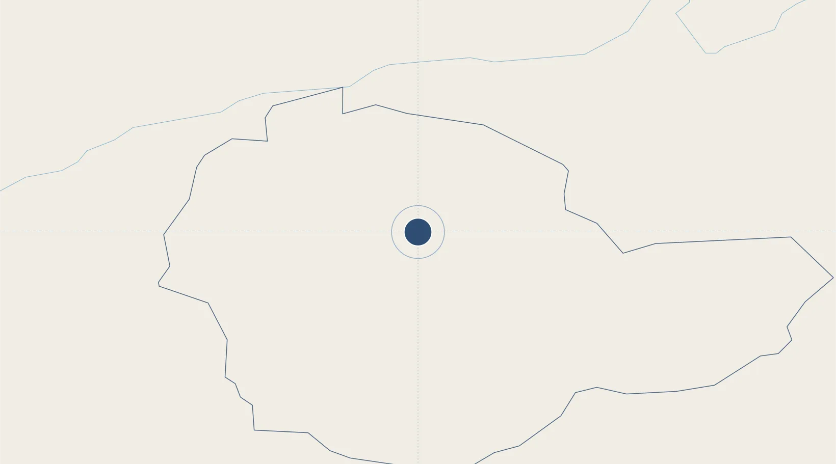
46.6603°, 113.2850°
7,217 ft
Longest runway
1
Runways
3,205 ft
Elevation

Runway & Layout

Baruun Urt Airport runway & taxiway layout
Runway & taxiway layout — OpenStreetMap (ODbL) / OurAirports

Radio Frequencies

INFO
130 MHz
SHARGA
RDO
550.5 MHz
SHARGA
OurAirports

Navaids

SB NDB Baruun-Urt 330 kHz
OurAirports

Runways · 1

RunwayDimensions SurfaceTrue headingLit
18/36 7,217 × 164ft Bitumen 172°
OurAirports

Airport Specifications

IATA code
UUN
OurAirports
ICAO code
ZMBU
OurAirports
Airport class
Medium airport
OurAirports
Scheduled service
No
OurAirports
Runway surface
Bitumen
OurAirports

Location

Location of ZMBU
Natural Earth 10m (public domain) · Sühbaatar · ZMBU · 46.66, 113.29GoogleOSMYandex

Nearby Logistics Neighbours

Airports
  1. 1Choibalsan Airport193 km
  2. 2Shine Bulagin Hural Air Base329 km
  3. 3Xilinhot Airport370 km
  4. 4Erenhot Saiwusu International Airport372 km
  5. 5Manzhouli Xijiao Airport441 km
Nearest neighbours — logibook spatial index (haversine) over the source coordinates
Cities
  1. 1Schondorf am Ammersee242 km
  2. 2Ihrlerstein295 km
  3. 3Adelschlag311 km
  4. 4Zamyn-Üüd342 km
  5. 5Foremost343 km
Nearest neighbours — logibook spatial index (haversine) over the source coordinates
Ports
  1. 1Qinhuangdao906 km
  2. 2Huludao Gang906 km
  3. 3Jinzhou Wan908 km
  4. 4Tianjin Xin Gang932 km
  5. 5Tangshan (Jingtang)951 km
Nearest neighbours — logibook spatial index (haversine) over the source coordinates
Trade Zones
  1. 1Ulanhot Economic and Technological Development Zone109 km
  2. 2Zamyn-Üüd Special Economic Zone345 km
  3. 3Xilin Gol Economic Development Zone371 km
  4. 4Zhalai Nuoer Industrial Park446 km
  5. 5Manzhouli Industrial Park452 km
Nearest neighbours — logibook spatial index (haversine) over the source coordinates
DatabookThe Record of Consolidated Knowledge
Mongolia beyond logistics?
Browse databook

All Sources

AirportsOurAirports
Public domain
Portsthe NGA World Port Index
Public domain (US gov)
LocationsUN/LOCODE
UN/LOCODE — free
Trade Zonesthe World Bank SEZ database
CC BY 4.0
Trade ZonesOpen Zone Map
CC BY
InfrastructureOpenStreetMap
ODbL 1.0
← Mongolia airports