Export Processing Zone · China

Wuchuan Economic Development Zone Active
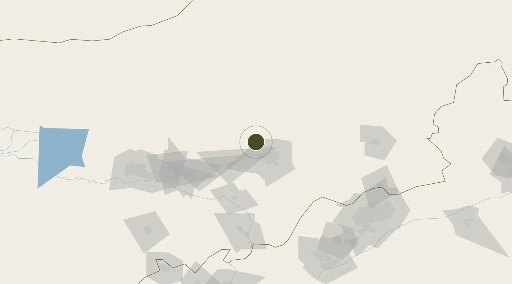
41.0412°, 111.4880°
214 ha
Zone area
587.4 km
Nearest port
35.4 km
Nearest airport

Gateway access

Nearest neighbours — logibook spatial index (haversine) over the source coordinates

Zone profile

Zone type
Export Processing Zone
Open Zone Map
Region
Inner Mongol
Open Zone Map
Status
Active
Open Zone Map
Management
Public
Open Zone Map
Operator
Management Committee of Wuchuan Economic Development Zone
Open Zone Map
Legal framework
Established in October 2002
Open Zone Map

Location

Location of ozm-1068
Natural Earth 10m (public domain) · Inner Mongol · ozm-1068 · 41.04, 111.49GoogleOSMYandex

Nearby Logistics Neighbours

Ports
  1. 1Tianjin Xin Gang587 km
  2. 2Tangshan (Jingtang)672 km
  3. 3Qinhuangdao698 km
  4. 4Huludao Gang799 km
  5. 5Jinzhou Wan808 km
Nearest neighbours — logibook spatial index (haversine) over the source coordinates
Airports
  1. 1Hohhot Baita International Airport35 km
  2. 2Hohhot Bikeqi Air Base40 km
  3. 3Ulanqab Jining Airport136 km
  4. 4Baotou Donghe International Airport136 km
  5. 5Datong Yungang International Airport201 km
Nearest neighbours — logibook spatial index (haversine) over the source coordinates
Cities
  1. 1Hohhot31 km
  2. 2Baotou134 km
  3. 3Bayan Obo150 km
  4. 4Datong184 km
  5. 5Zhangjiakou285 km
Nearest neighbours — logibook spatial index (haversine) over the source coordinates
Trade Zones
  1. 1Jinhai Industrial Park28 km
  2. 2Hongsheng Industrial Park32 km
  3. 3Jinqiao Economic Development Zone35 km
  4. 4New Industrial Park of Tuyou Banner, Baotou City87 km
  5. 5Baotou Aluminum Industrial Park126 km
Nearest neighbours — logibook spatial index (haversine) over the source coordinates
DatabookThe Record of Consolidated Knowledge
China beyond logistics?
Browse databook

All Sources

Trade ZonesOpen Zone Map
CC BY
Portsthe NGA World Port Index
Public domain (US gov)
AirportsOurAirports
Public domain
LocationsUN/LOCODE
UN/LOCODE — free
← China trade zones