Transport Functions
Rail
Road
Multimodal
Hub Profile
Place type
Provincial seat
Region
Hebei
Population
692,602
Time zone
Asia/Shanghai
Elevation
744 m
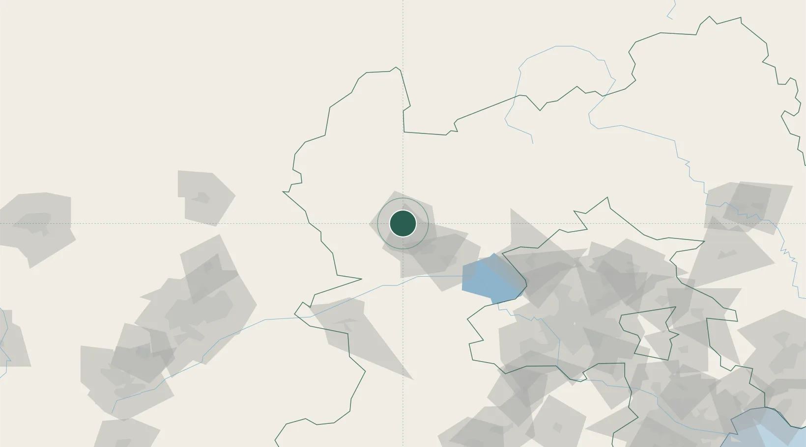
Location
Nearby Logistics Neighbours
Ports
- 1Tianjin Xin Gang326 km
- 2Tangshan (Jingtang)397 km
- 3Qinhuangdao414 km
- 4Huludao Gang515 km
- 5Jinzhou Wan525 km
Airports
- 1Zhangjiakou Ningyuan Airport10 km
- 2Yongning Air Base110 km
- 3Beijing Shahezhen Air Base144 km
- 4Datong Yungang International Airport144 km
- 5Beijing Xijiao Airport152 km
DatabookThe Record of Consolidated Knowledge
China beyond logistics?