Diversified Zone · China

Hongsheng Industrial Park Active
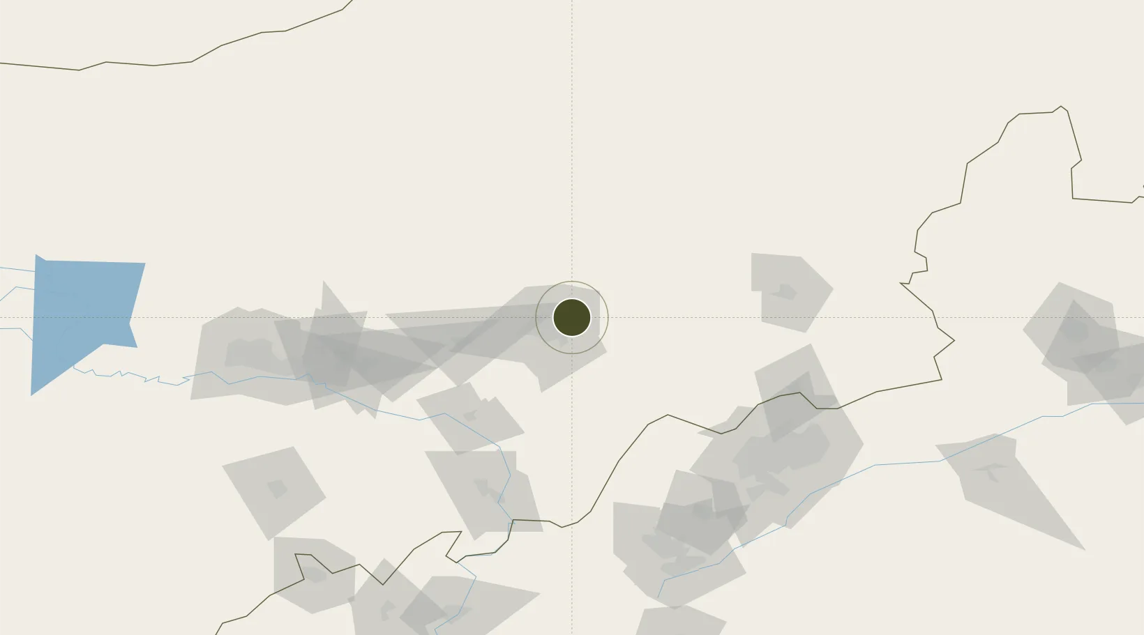
40.8834°, 111.8128°
121 ha
Zone area
555.7 km
Nearest port
3.9 km
Nearest airport

Gateway access

Nearest neighbours — logibook spatial index (haversine) over the source coordinates

Zone profile

Zone type
Diversified Zone
Open Zone Map
Region
Inner Mongol
Open Zone Map
Status
Active
Open Zone Map
Management
Public
Open Zone Map
Operator
Management Committee of Hongsheng Industrial Park
Open Zone Map
Legal framework
It was established in January 2001
Open Zone Map

Location

Location of ozm-334
Natural Earth 10m (public domain) · Inner Mongol · ozm-334 · 40.88, 111.81GoogleOSMYandex

Nearby Logistics Neighbours

Ports
  1. 1Tianjin Xin Gang556 km
  2. 2Tangshan (Jingtang)641 km
  3. 3Qinhuangdao669 km
  4. 4Huludao Gang772 km
  5. 5Jinzhou Wan781 km
Nearest neighbours — logibook spatial index (haversine) over the source coordinates
Airports
  1. 1Hohhot Baita International Airport4 km
  2. 2Hohhot Bikeqi Air Base52 km
  3. 3Ulanqab Jining Airport112 km
  4. 4Baotou Donghe International Airport157 km
  5. 5Datong Yungang International Airport168 km
Nearest neighbours — logibook spatial index (haversine) over the source coordinates
Cities
  1. 1Hohhot14 km
  2. 2Datong152 km
  3. 3Baotou155 km
  4. 4Bayan Obo183 km
  5. 5Zhangjiakou257 km
Nearest neighbours — logibook spatial index (haversine) over the source coordinates
Trade Zones
  1. 1Jinqiao Economic Development Zone13 km
  2. 2Jinhai Industrial Park19 km
  3. 3Wuchuan Economic Development Zone32 km
  4. 4New Industrial Park of Tuyou Banner, Baotou City104 km
  5. 5Chahar Industrial Park116 km
Nearest neighbours — logibook spatial index (haversine) over the source coordinates
DatabookThe Record of Consolidated Knowledge
China beyond logistics?
Browse databook

All Sources

Trade ZonesOpen Zone Map
CC BY
Portsthe NGA World Port Index
Public domain (US gov)
AirportsOurAirports
Public domain
LocationsUN/LOCODE
UN/LOCODE — free
← China trade zones