Small airport · Australia

Hughenden AirportYHUG
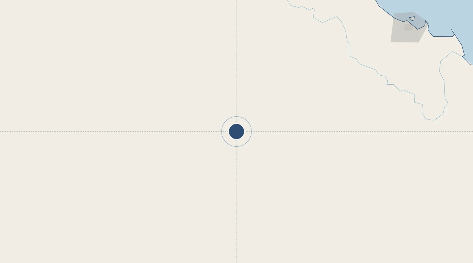
-20.8150°, 144.2250°
5,394 ft
Longest runway
2
Runways
1,043 ft
Elevation

Runway & Layout

Hughenden Airport runway & taxiway layout
Runway & taxiway layout — OpenStreetMap (ODbL) / OurAirports

Radio Frequencies

CTAF
126.7 MHz
FSS
119.8 MHz
BRISBANE CNTR
OurAirports

Navaids

HUG VOR Hughenden 112.40 MHz
HUG NDB Hughenden 371 kHz
OurAirports

Runways · 2

RunwayDimensions SurfaceTrue headingLit
12/30 5,394 × 98ft Asphalt 127°
06/24 3,051 × 59ft Gravel 066°
OurAirports

Airport Specifications

IATA code
HGD
OurAirports
ICAO code
YHUG
OurAirports
Airport class
Small airport
OurAirports
Scheduled service
Yes
OurAirports
Runway surface
Asphalt
OurAirports
Served city
Hughenden
OurAirports

Location

Location of YHUG
Natural Earth 10m (public domain) · Queensland · YHUG · -20.82, 144.23GoogleOSMYandex

Nearby Logistics Neighbours

Airports
  1. 1Richmond Airport116 km
  2. 2Winton Airport209 km
  3. 3Julia Creek Airport261 km
  4. 4Longreach Airport291 km
  5. 5Townsville Airport / RAAF Base Townsville317 km
Nearest neighbours — logibook spatial index (haversine) over the source coordinates
Cities
  1. 1Mount Louisa313 km
  2. 2Garbutt316 km
  3. 3Townsville322 km
  4. 4Hinchinbrook Island346 km
  5. 5Hillcrest410 km
Nearest neighbours — logibook spatial index (haversine) over the source coordinates
Ports
  1. 1Townsville321 km
  2. 2Lucinda338 km
  3. 3Mourilyan Harbour410 km
  4. 4Cairns463 km
  5. 5Karumba514 km
Nearest neighbours — logibook spatial index (haversine) over the source coordinates
Trade Zones
  1. 1Paga Hill Estate Special Economic Zone1298 km
  2. 2Ihu Special Economic Zone1442 km
  3. 3Morobe Agricultural Special Economic Zone1584 km
  4. 4Nadzab (Momase) Special Economic Zone1605 km
  5. 5Western Province Special Economic Zone1608 km
Nearest neighbours — logibook spatial index (haversine) over the source coordinates
DatabookThe Record of Consolidated Knowledge
Australia beyond logistics?
Browse databook

All Sources

AirportsOurAirports
Public domain
Portsthe NGA World Port Index
Public domain (US gov)
LocationsUN/LOCODE
UN/LOCODE — free
Trade Zonesthe World Bank SEZ database
CC BY 4.0
Trade ZonesOpen Zone Map
CC BY
InfrastructureOpenStreetMap
ODbL 1.0
← Australia airports