Transport Functions
Port
Road
Hub Profile
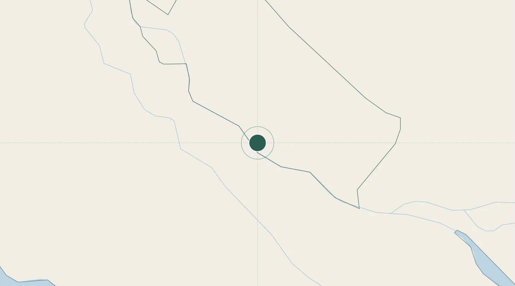
Place type
Populated place
Region
Lao Cai
Time zone
Asia/Bangkok
Elevation
227 m
Location
Nearby Logistics Neighbours
Cities
- 1Sa Déc30 km
- 2Binh Minh32 km
- 3Binh Long Port36 km
- 4Tra Noc45 km
- 5Vinh Long52 km
Ports
- 1Thanh Ho Chi Minh130 km
- 2Cat Lai136 km
- 3Thanh Hoa136 km
- 4Phu My161 km
- 5Vung Tau165 km
Airports
Trade Zones
- 1Sa Dec Industrial Zone27 km
- 2Tra Noc 2 Industrial Zone44 km
- 3An Phú Industrial Zone44 km
- 4Tra Noc 1 Industrial Zone45 km
- 5Hòa Phú Industrial Zone53 km
DatabookThe Record of Consolidated Knowledge
Vietnam beyond logistics?