Medium airport · Thailand
Surin AirportVTUJ
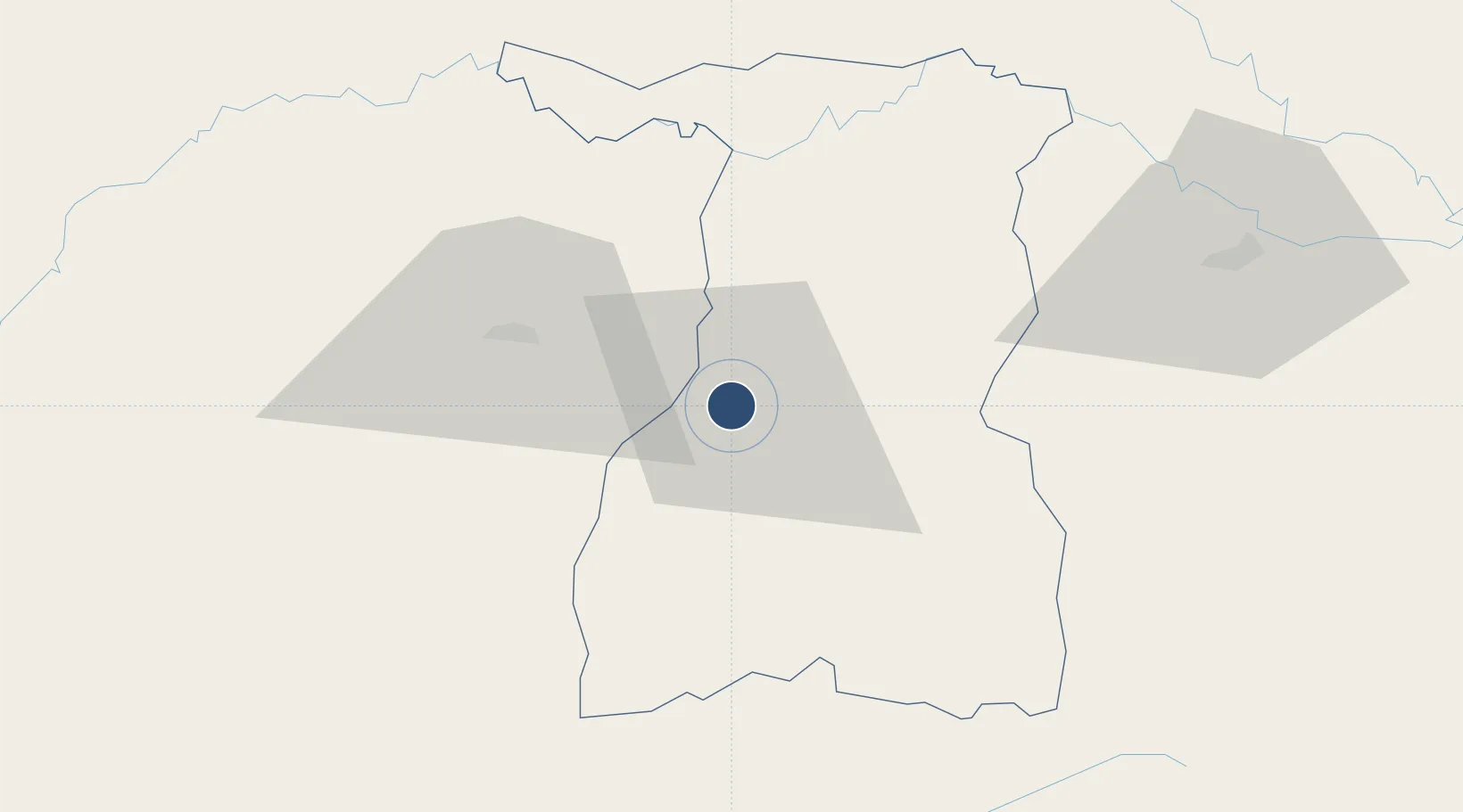
14.8683°, 103.4980°
5,053 ft
Longest runway
1
Runways
478 ft
Elevation
Runway & Layout

Radio Frequencies
TWR
122.7 MHz
APP
123.6 MHz
BURI RAM APP
Runways · 1
| Runway | Dimensions | Surface | True heading | Lit |
|---|---|---|---|---|
| 01/19 | 5,053 × 115ft | Asphalt | 008° | — |
Airport Specifications
IATA code
PXR
ICAO code
VTUJ
Airport class
Medium airport
Scheduled service
Yes
Runway surface
Asphalt
Served city
Surin
Location
Nearby Logistics Neighbours
Airports
- 1Buri Ram Airport48 km
- 2Nakhon Ratchasima Airport128 km
- 3Roi Et Airport142 km
- 4Ubon Ratchathani Airport153 km
- 5Siem Reap-Angkor International Airport184 km
Cities
- 1Paôy Pêt (Poipet)170 km
- 2Khon Kaen188 km
- 3Vangtao212 km
- 4Pak Chong225 km
- 5Savannakhét239 km
Ports
- 1Si Racha Terminal337 km
- 2Siam Seaport342 km
- 3Rayong Tpi Terminal344 km
- 4Laem Chabang345 km
- 5Ko Si Chang Terminal346 km
Trade Zones
DatabookThe Record of Consolidated Knowledge
Thailand beyond logistics?