Medium airport · Thailand

Ubon Ratchathani AirportVTUU
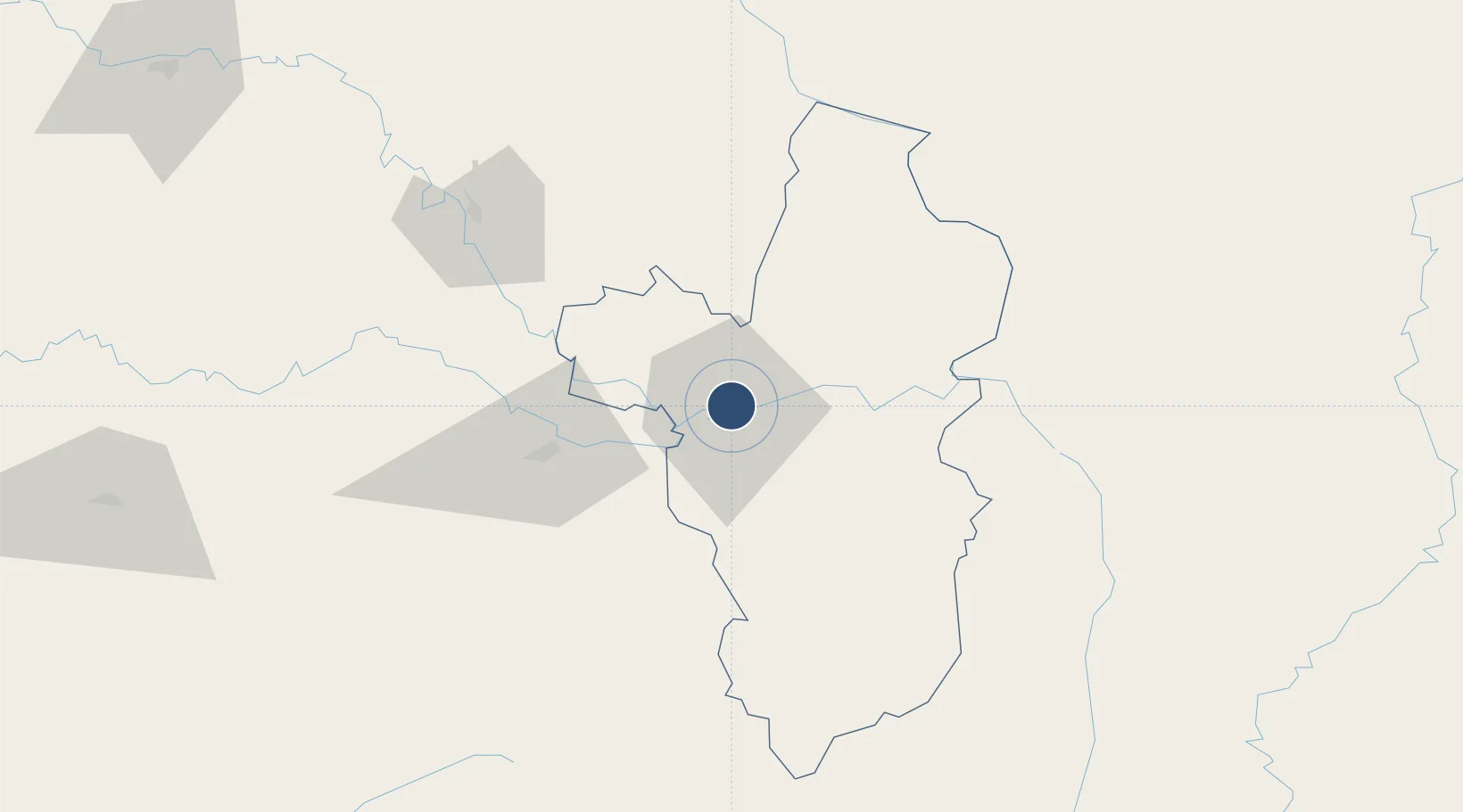
15.2513°, 104.8700°
9,848 ft
Longest runway
1
Runways
406 ft
Elevation

Runway & Layout

Ubon Ratchathani Airport runway & taxiway layout
Runway & taxiway layout — OpenStreetMap (ODbL) / OurAirports

Radio Frequencies

ATIS
37.3 MHz
TWR
119.9 MHz
GND
121.9 MHz
APP
123.5 MHz
OurAirports

Navaids

UB NDB Ubon 373 kHz
UBL TACAN Ubon 114.60 MHz
UBL VOR-DME Ubon 112.70 MHz
OurAirports

Runways · 1

RunwayDimensions SurfaceTrue headingLit
05/23 9,848 × 148ft Asphalt 052°
OurAirports

Airport Specifications

IATA code
UBP
OurAirports
ICAO code
VTUU
OurAirports
Airport class
Medium airport
OurAirports
Scheduled service
Yes
OurAirports
Runway surface
Asphalt
OurAirports
Served city
Ubon Ratchathani
OurAirports

Location

Location of VTUU
Natural Earth 10m (public domain) · Ubon Ratchathani · VTUU · 15.25, 104.87GoogleOSMYandex

Nearby Logistics Neighbours

Airports
  1. 1Pakse International Airport99 km
  2. 2Savannakhet Airport146 km
  3. 3Roi Et Airport152 km
  4. 4Surin Airport153 km
  5. 5Buri Ram Airport174 km
Nearest neighbours — logibook spatial index (haversine) over the source coordinates
Cities
  1. 1Vangtao64 km
  2. 2Savannakhét152 km
  3. 3Thakhek249 km
  4. 4Khon Kaen254 km
  5. 5Tan Dinh284 km
Nearest neighbours — logibook spatial index (haversine) over the source coordinates
Ports
  1. 1Da Nang371 km
  2. 2Nghe Tinh402 km
  3. 3Rayong Tpi Terminal483 km
  4. 4Si Racha Terminal485 km
  5. 5Siam Seaport490 km
Nearest neighbours — logibook spatial index (haversine) over the source coordinates
Trade Zones
  1. 1Vangtao-Phonethong Special Economic Zone65 km
  2. 2Pakse - Japan Sme Special Economic Zone113 km
  3. 3Mukdahan Special Economic Zone145 km
  4. 4Savan-Seno Special Economic Zone151 km
  5. 5Mahanathy Siphandone Special Economic Zone155 km
Nearest neighbours — logibook spatial index (haversine) over the source coordinates
DatabookThe Record of Consolidated Knowledge
Thailand beyond logistics?
Browse databook

All Sources

AirportsOurAirports
Public domain
Portsthe NGA World Port Index
Public domain (US gov)
LocationsUN/LOCODE
UN/LOCODE — free
Trade Zonesthe World Bank SEZ database
CC BY 4.0
Trade ZonesOpen Zone Map
CC BY
InfrastructureOpenStreetMap
ODbL 1.0
← Thailand airports