UN/LOCODE hub · Laos
LAVTO

Vangtao

15.1167°, 105.4500°
2
Transport functions

Transport Functions

Road
Multimodal
UN/LOCODE

Hub Profile

Region
CH
GeoNames

Location

Location of LAVTO
Natural Earth 10m (public domain) · CH · LAVTO · 15.12, 105.45GoogleOSMYandex

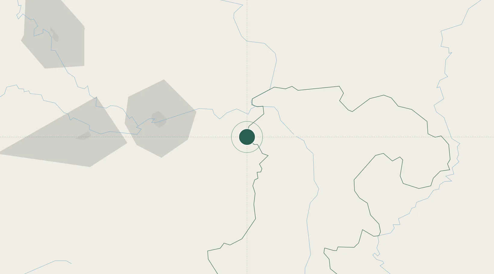
Nearby Logistics Neighbours

Cities
  1. 1Savannakhét181 km
  2. 2Tan Dinh249 km
  3. 3Tan Canh261 km
  4. 4Cua Viet Port270 km
  5. 5Thakhek274 km
Nearest neighbours — logibook spatial index (haversine) over the source coordinates
Ports
  1. 1Da Nang316 km
  2. 2Nghe Tinh407 km
  3. 3Qui Nhon434 km
  4. 4Thanh Hoa499 km
  5. 5Thanh Ho Chi Minh503 km
Nearest neighbours — logibook spatial index (haversine) over the source coordinates
Airports
  1. 1Pakse International Airport36 km
  2. 2Ubon Ratchathani Airport64 km
  3. 3Savannakhet Airport176 km
  4. 4Roi Et Airport211 km
  5. 5Surin Airport212 km
Nearest neighbours — logibook spatial index (haversine) over the source coordinates
Trade Zones
  1. 1Vangtao-Phonethong Special Economic Zone3 km
  2. 2Pakse - Japan Sme Special Economic Zone49 km
  3. 3Mahanathy Siphandone Special Economic Zone112 km
  4. 4Mukdahan Special Economic Zone178 km
  5. 5Savan-Seno Special Economic Zone181 km
Nearest neighbours — logibook spatial index (haversine) over the source coordinates
DatabookThe Record of Consolidated Knowledge
Laos beyond logistics?
Browse databook

All Sources

LocationsUN/LOCODE
UN/LOCODE — free
Portsthe NGA World Port Index
Public domain (US gov)
AirportsOurAirports
Public domain
Trade Zonesthe World Bank SEZ database
CC BY 4.0
Trade ZonesOpen Zone Map
CC BY
← Laos locations