Transport Functions
Rail
Road
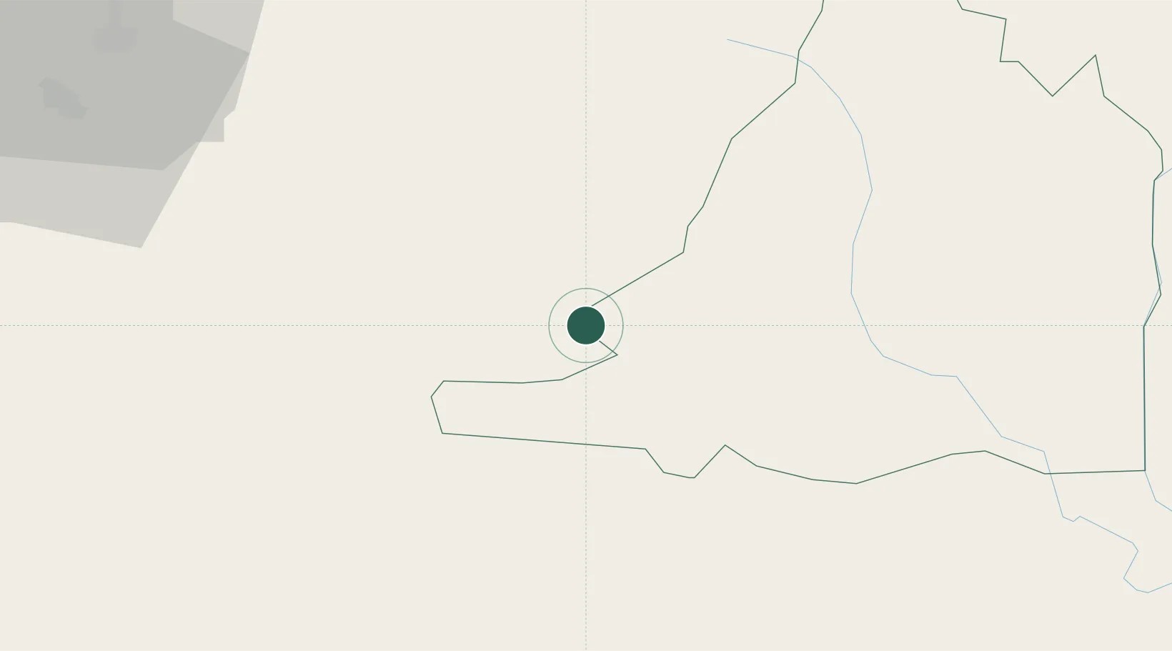
Location
Nearby Logistics Neighbours
Cities
- 1Tha Chaleap139 km
- 2Chanthaburi154 km
- 3Pak Chong168 km
- 4Bangpakong Terminal171 km
- 5Map Ta Phut175 km
Ports
- 1Rayong Tpi Terminal176 km
- 2Si Racha Terminal185 km
- 3Map Ta Phut185 km
- 4Siam Seaport189 km
- 5Laem Chabang191 km
Airports
- 1Battambang Airport96 km
- 2Nakhon Ratchasima Airport147 km
- 3Trat Airport155 km
- 4Surin Airport170 km
- 5Siem Reap-Angkor International Airport184 km
Trade Zones
DatabookThe Record of Consolidated Knowledge
Cambodia beyond logistics?