Diversified Zone · Cambodia

Poi Pet Oneang Special Economic Zone Active
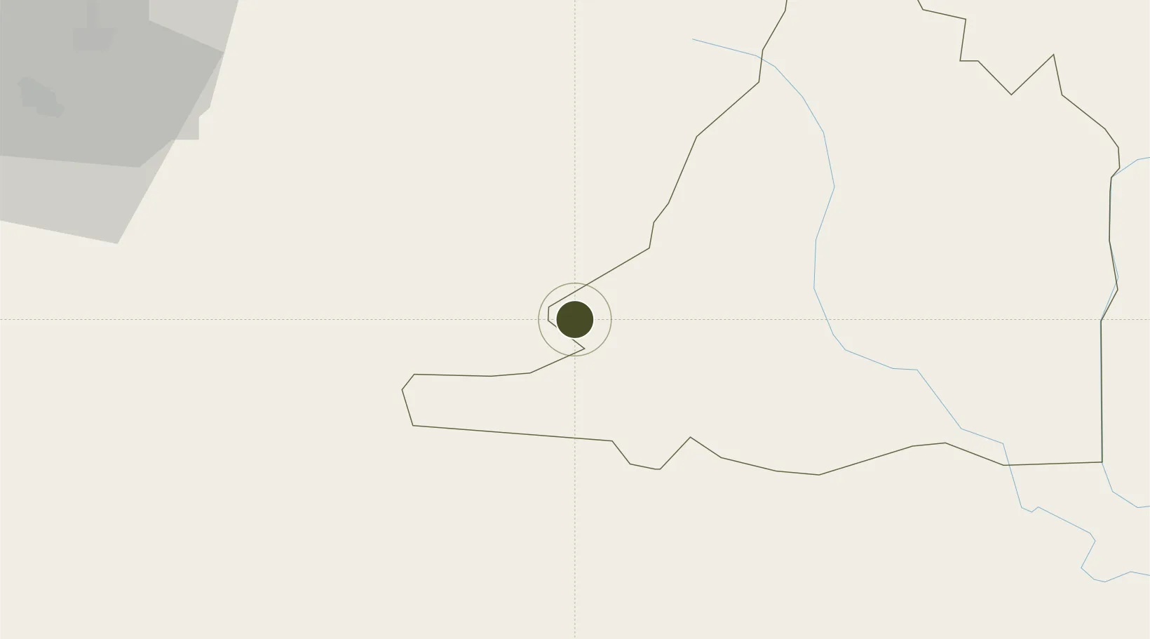
13.6504°, 102.5829°
467 ha
Zone area
179.1 km
Nearest port
92.8 km
Nearest airport

Gateway access

Nearest neighbours — logibook spatial index (haversine) over the source coordinates

Zone profile

Zone type
Diversified Zone
Open Zone Map
Region
Bântéay Méanchey
Open Zone Map
Status
Active
Open Zone Map
Management
Private
Open Zone Map
Operator
Chhay Chhay Investment Ltd
Open Zone Map
Legal framework
Sub Decree No 57 dated 1 June 2006
Open Zone Map

Location

Location of ozm-265
Natural Earth 10m (public domain) · Bântéay Méanchey · ozm-265 · 13.65, 102.58GoogleOSMYandex

Nearby Logistics Neighbours

Ports
  1. 1Rayong Tpi Terminal179 km
  2. 2Si Racha Terminal188 km
  3. 3Map Ta Phut188 km
  4. 4Siam Seaport193 km
  5. 5Laem Chabang194 km
Nearest neighbours — logibook spatial index (haversine) over the source coordinates
Airports
  1. 1Battambang Airport93 km
  2. 2Nakhon Ratchasima Airport147 km
  3. 3Trat Airport156 km
  4. 4Surin Airport168 km
  5. 5Siem Reap-Angkor International Airport180 km
Nearest neighbours — logibook spatial index (haversine) over the source coordinates
Cities
  1. 1Paôy Pêt (Poipet)4 km
  2. 2Tha Chaleap141 km
  3. 3Chanthaburi155 km
  4. 4Pak Chong170 km
  5. 5Bangpakong Terminal174 km
Nearest neighbours — logibook spatial index (haversine) over the source coordinates
Trade Zones
  1. 1Sanco Poi Pet Special Economic Zone2 km
  2. 2Sa Kaeo Special Economic Zone59 km
  3. 3Bor-Thong Industrial Zone88 km
  4. 4Kabinburi Industrial Zone95 km
  5. 5Saha Group Industrial Park Kabinburi103 km
Nearest neighbours — logibook spatial index (haversine) over the source coordinates
DatabookThe Record of Consolidated Knowledge
Cambodia beyond logistics?
Browse databook

All Sources

Trade ZonesOpen Zone Map
CC BY
Portsthe NGA World Port Index
Public domain (US gov)
AirportsOurAirports
Public domain
LocationsUN/LOCODE
UN/LOCODE — free
← Cambodia trade zones