UN/LOCODE hub · Thailand
THTPP

Tungprong Pt

12.7000°, 100.8333°
1
Transport functions

Transport Functions

Port
UN/LOCODE

Hub Profile

Region
20
GeoNames

Location

Location of THTPP
Natural Earth 10m (public domain) · 20 · THTPP · 12.70, 100.83GoogleOSMYandex

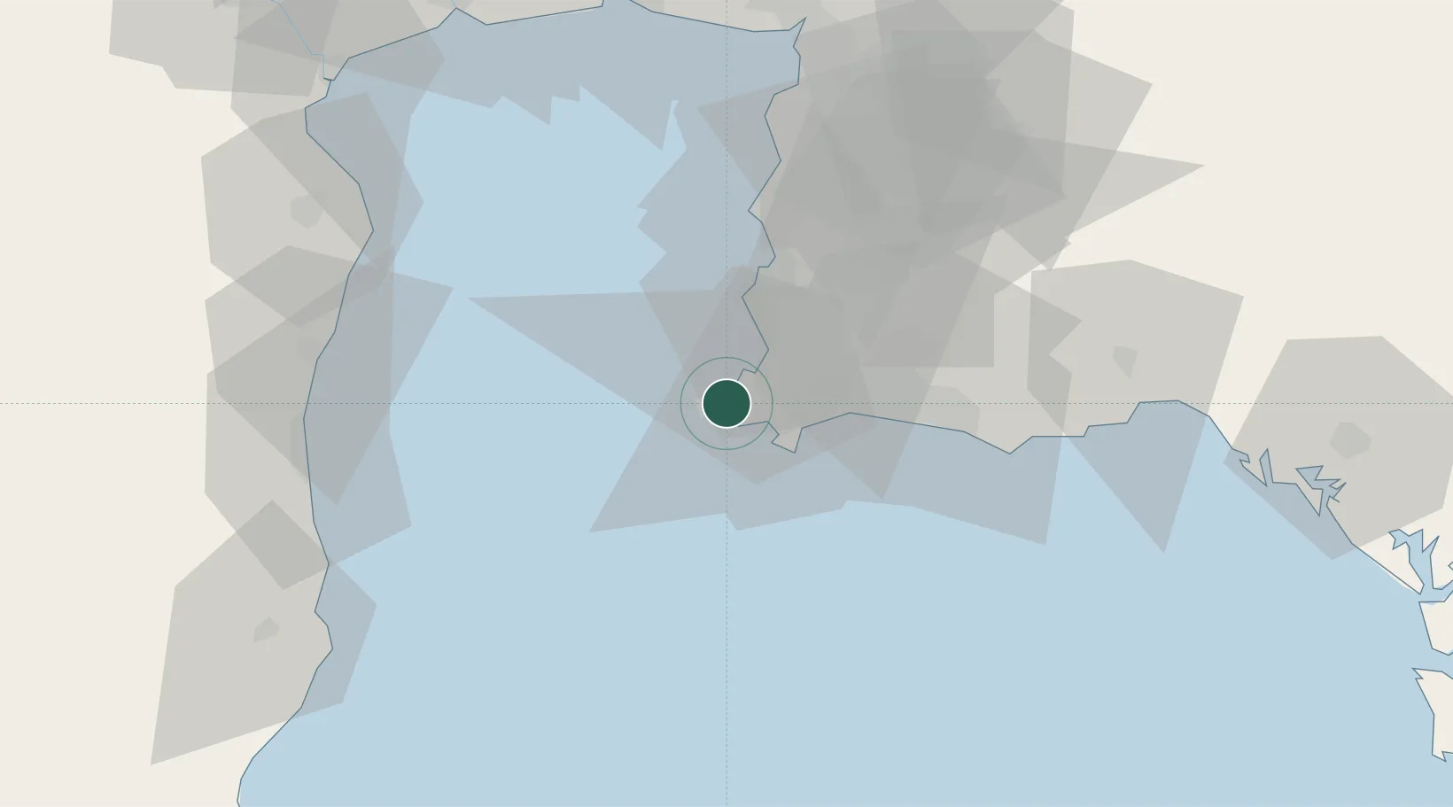
Nearby Logistics Neighbours

Cities
  1. 1Sattahip12 km
  2. 2Pattaya27 km
  3. 3Chonburi43 km
  4. 4Laem Chabang45 km
  5. 5Ko Sichang48 km
Nearest neighbours — logibook spatial index (haversine) over the source coordinates
Ports
  1. 1Sattahip13 km
  2. 2Map Ta Phut36 km
  3. 3Laem Chabang43 km
  4. 4Siam Seaport49 km
  5. 5Rayong Tpi Terminal51 km
Nearest neighbours — logibook spatial index (haversine) over the source coordinates
Airports
  1. 1U-Tapao–Rayong–Pattaya International Airport19 km
  2. 2Hua Hin Airport96 km
  3. 3Suvarnabhumi Airport110 km
  4. 4Don Mueang International Airport137 km
  5. 5Trat Airport168 km
Nearest neighbours — logibook spatial index (haversine) over the source coordinates
Trade Zones
  1. 1Asia Industrial Estate29 km
  2. 2Padaeng Industrial Estate34 km
  3. 3Map Ta Phut Industrial Estate34 km
  4. 4RIL Industrial Estate37 km
  5. 5Amata City Industrial Estate42 km
Nearest neighbours — logibook spatial index (haversine) over the source coordinates
DatabookThe Record of Consolidated Knowledge
Thailand beyond logistics?
Browse databook

All Sources

LocationsUN/LOCODE
UN/LOCODE — free
Portsthe NGA World Port Index
Public domain (US gov)
AirportsOurAirports
Public domain
Trade Zonesthe World Bank SEZ database
CC BY 4.0
Trade ZonesOpen Zone Map
CC BY
← Thailand locations