Free Trade Zone · Vietnam

Mp Dinh Vu Industrial Zone Active
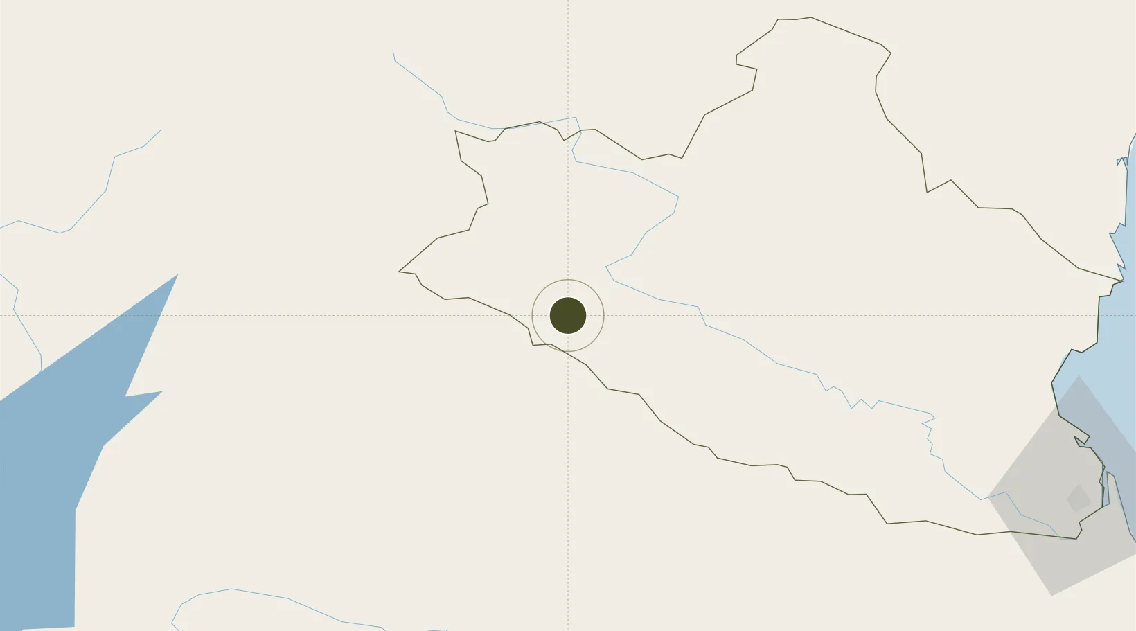
19.1813°, 104.3060°
1,000 ha
Zone area
160.4 km
Nearest port
124.1 km
Nearest airport

Gateway access

Nearest neighbours — logibook spatial index (haversine) over the source coordinates

Zone profile

Zone type
Free Trade Zone
Open Zone Map
Region
Nghệ An
Open Zone Map
Status
Active
Open Zone Map
Management
Public
Open Zone Map
Operator
Hai Phong Economic Zone Authority (HEZA), Deep C JSC.
Open Zone Map
Legal framework
Decree No.82/2018/ND-CP on Management of Industrial Parks and Economic Zones, Decree No 218/2013/ND-CP
Open Zone Map

Location

Location of ozm-5183
Natural Earth 10m (public domain) · Nghệ An · ozm-5183 · 19.18, 104.31GoogleOSMYandex

Nearby Logistics Neighbours

Ports
  1. 1Nghe Tinh160 km
  2. 2Hai Phong315 km
  3. 3Hon Gai349 km
  4. 4Cam Pha380 km
  5. 5Basuo453 km
Nearest neighbours — logibook spatial index (haversine) over the source coordinates
Airports
  1. 1Xieng Khouang Airport124 km
  2. 2Sam Neua Airport140 km
  3. 3Tho Xuan Airport146 km
  4. 4Vinh Airport152 km
  5. 5Nakhon Phanom Airport203 km
Nearest neighbours — logibook spatial index (haversine) over the source coordinates
Cities
  1. 1Rao Qua134 km
  2. 2Van Lâm139 km
  3. 3Kim Dong143 km
  4. 4Vinh152 km
  5. 5Culao153 km
Nearest neighbours — logibook spatial index (haversine) over the source coordinates
Trade Zones
  1. 1Hoàng Mai Mai Industrial Zone133 km
  2. 2Lam Sơn - Sao Vàng Industrial Zone144 km
  3. 3Nam Cam Industrial Park147 km
  4. 4Wha Industrial Zone 1 - Nghe An147 km
  5. 5Vsip Industrial Park - Nghe An150 km
Nearest neighbours — logibook spatial index (haversine) over the source coordinates
DatabookThe Record of Consolidated Knowledge
Vietnam beyond logistics?
Browse databook

All Sources

Trade ZonesOpen Zone Map
CC BY
Portsthe NGA World Port Index
Public domain (US gov)
AirportsOurAirports
Public domain
LocationsUN/LOCODE
UN/LOCODE — free
← Vietnam trade zones