Transport Functions
Multimodal
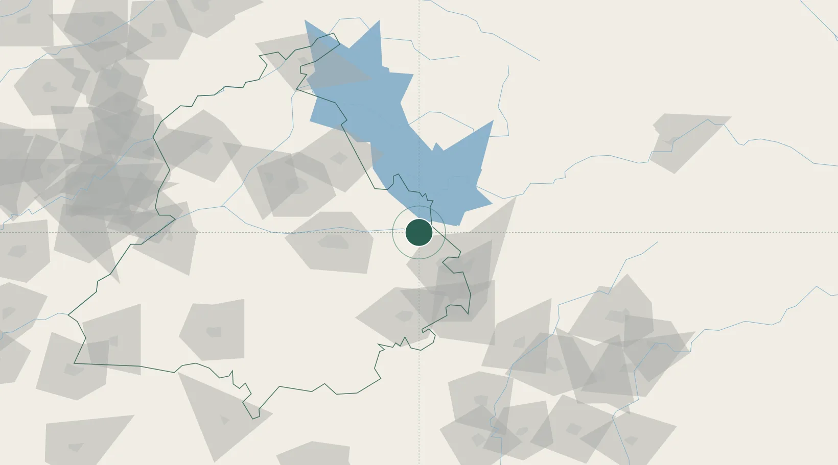
Hub Profile
Region
PB
Location
Nearby Logistics Neighbours
Cities
- 1Anandpur Sahib30 km
- 2Chawapayal ICD/Samrala36 km
- 3DCA-II SEZ/Chandigarh38 km
- 4DCA-I SEZ/Chandigarh38 km
- 5Parwanoo45 km
Airports
DatabookThe Record of Consolidated Knowledge
India beyond logistics?