Transport Functions
Multimodal
Hub Profile
Place type
Populated place
Region
Haryana
Population
17,938
Time zone
Asia/Kolkata
Elevation
256 m
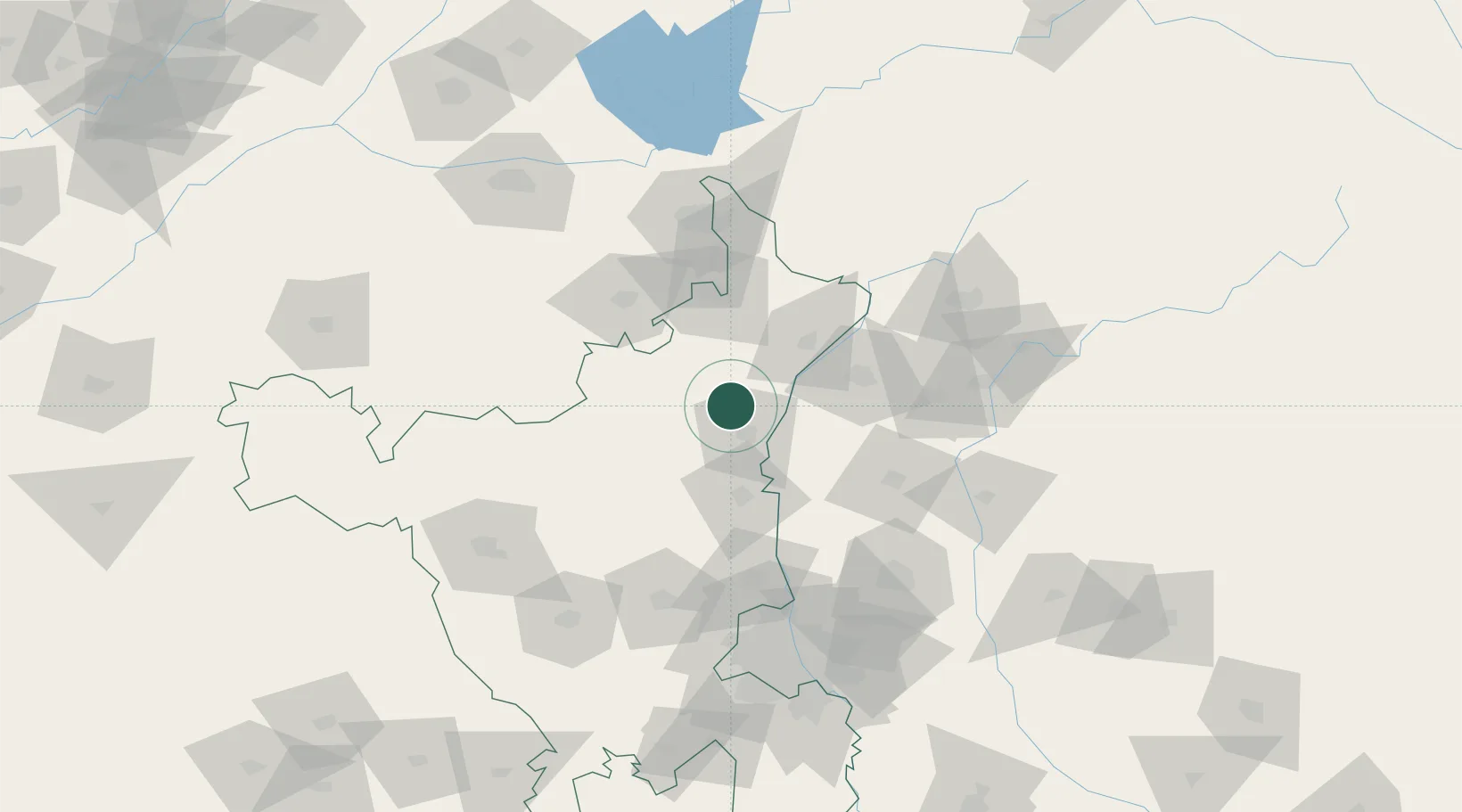
Location
Nearby Logistics Neighbours
Cities
- 1Karnal18 km
- 2Panipat43 km
- 3Samalkha ICD/Panipat66 km
- 4Sonipat72 km
- 5Lalru73 km
Airports
DatabookThe Record of Consolidated Knowledge
India beyond logistics?