UN/LOCODE hub · Hong Kong SAR China
HKHKG
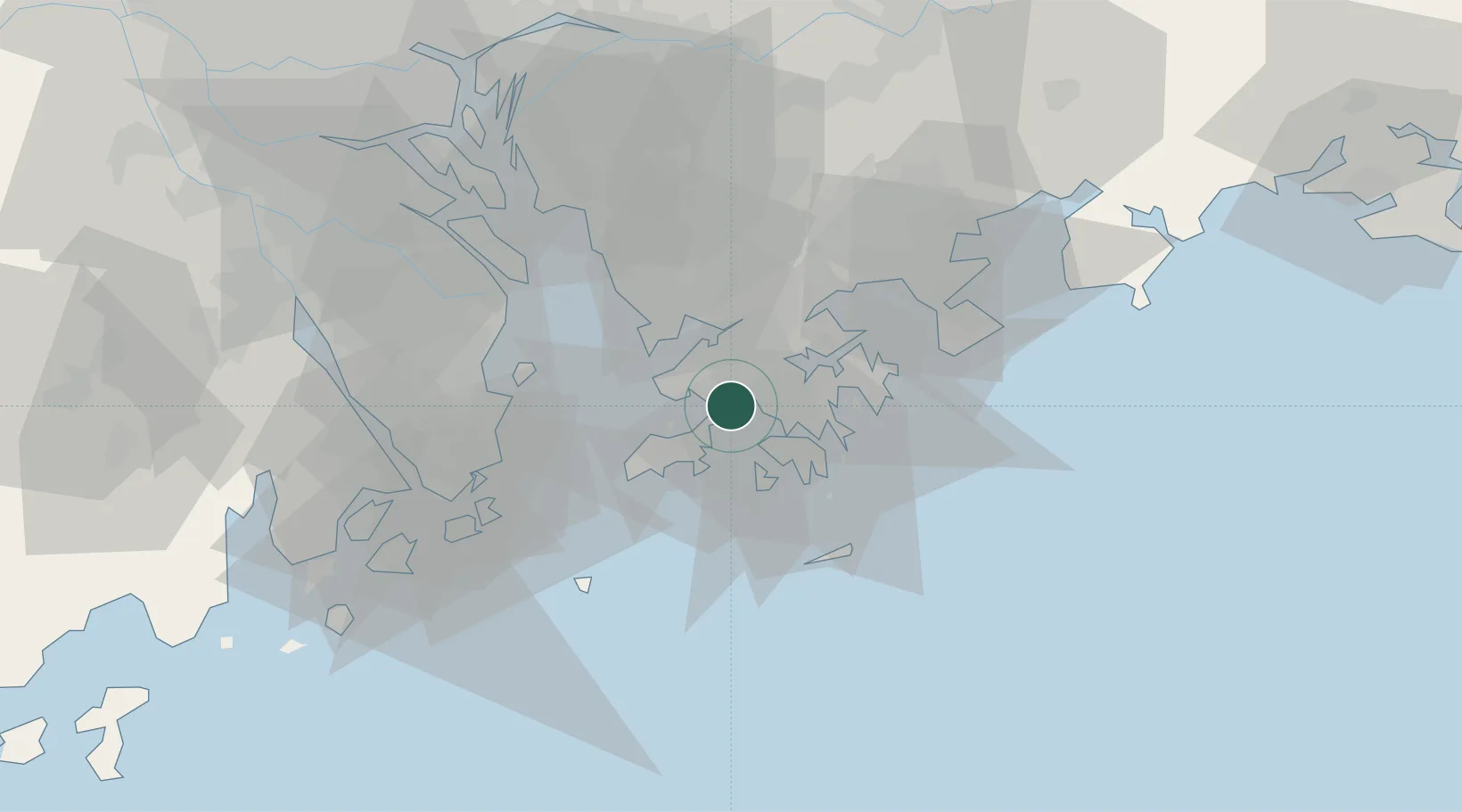
Hong Kong
22.3512°, 114.0581°
7,396,076
Population
3
Transport functions
7
Container terminals
Transport Functions
Port
Airport
Postal
Hub Profile
Place type
National capital
Population
7,396,076
Time zone
Asia/Hong_Kong
Elevation
60 m
Logistics facilities
111
Container terminals
7
Location
Nearby Logistics Neighbours
Cities
- 1Ha Kwai Chung6 km
- 2Mawan Pt7 km
- 3Kwai Chung7 km
- 4Tai Kok Tsui10 km
- 5Yau Ma Tei12 km
Airports
Trade Zones
DatabookThe Record of Consolidated Knowledge
Hong Kong SAR China beyond logistics?