UN/LOCODE hub · China
CNMWN

Mawan Pt

22.3927°, 114.0123°
1
Transport functions

Transport Functions

Port
UN/LOCODE

Hub Profile

Region
GD
GeoNames
Logistics facilities
6
UN/LOCODE

Location

Location of CNMWN
Natural Earth 10m (public domain) · GD · CNMWN · 22.39, 114.01GoogleOSMYandex

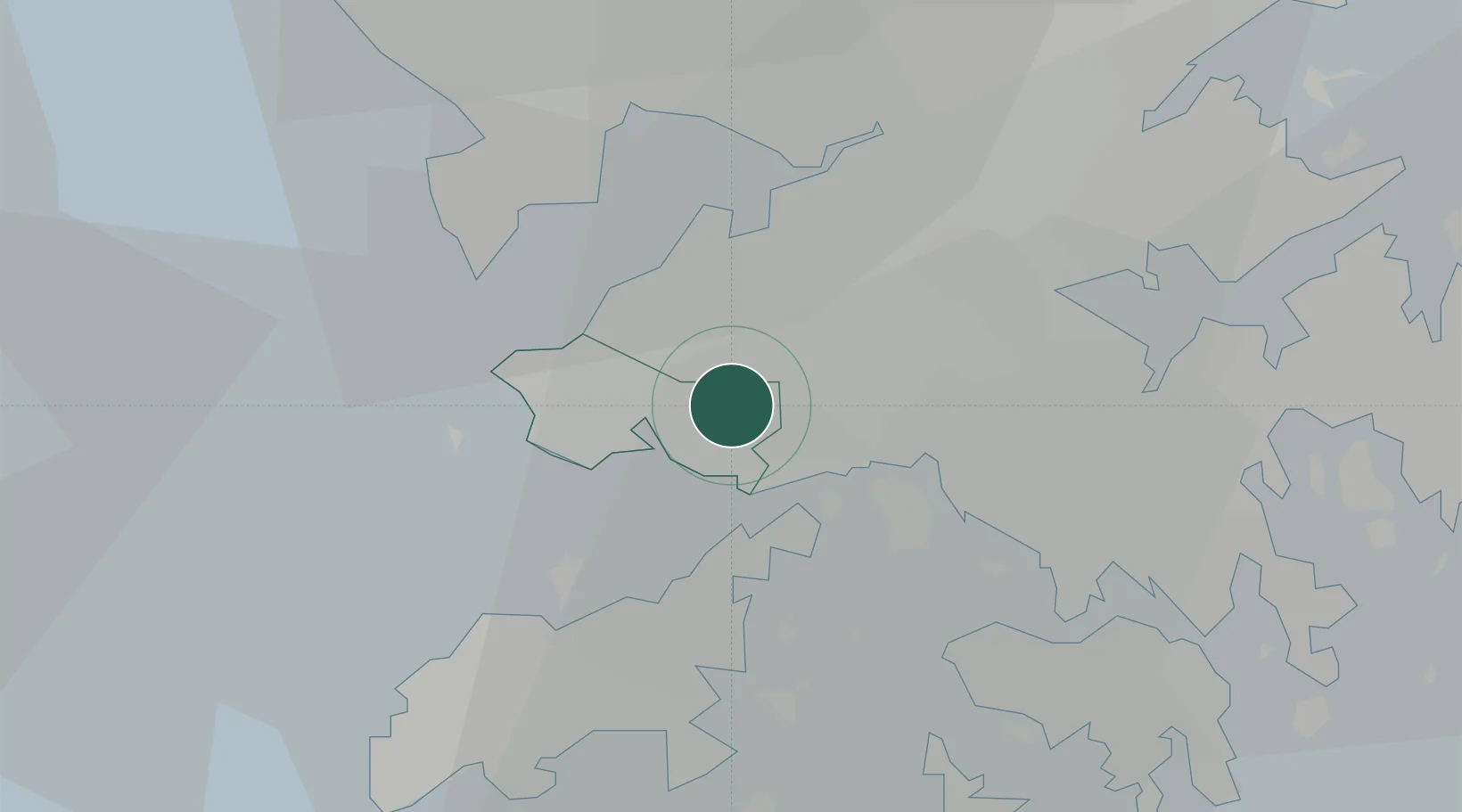
Nearby Logistics Neighbours

Cities
  1. 1Hong Kong7 km
  2. 2Ha Kwai Chung11 km
  3. 3Kwai Chung13 km
  4. 4Shenzhen Pt16 km
  5. 5Shekou Pt16 km
Nearest neighbours — logibook spatial index (haversine) over the source coordinates
Ports
  1. 1Shekou17 km
  2. 2Hong Kong24 km
  3. 3Yantian34 km
  4. 4Zhuhai48 km
  5. 5Macau51 km
Nearest neighbours — logibook spatial index (haversine) over the source coordinates
Airports
  1. 1Shek Kong Air Base9 km
  2. 2Hong Kong International Airport14 km
  3. 3Shun Tak Heliport19 km
  4. 4Shenzhen Bao'an International Airport35 km
  5. 5Macau International Airport51 km
Nearest neighbours — logibook spatial index (haversine) over the source coordinates
Trade Zones
  1. 1Yuehai Equipment Industrial Park18 km
  2. 2Shatoujiao Free Trade Zone31 km
  3. 3Yantian Free Trade Zone34 km
  4. 4Shenzhen Export Processing Zone51 km
  5. 5Guangzhou Nansha Export Processing Zone56 km
Nearest neighbours — logibook spatial index (haversine) over the source coordinates
DatabookThe Record of Consolidated Knowledge
China beyond logistics?
Browse databook

All Sources

LocationsUN/LOCODE
UN/LOCODE — free
Portsthe NGA World Port Index
Public domain (US gov)
AirportsOurAirports
Public domain
Trade Zonesthe World Bank SEZ database
CC BY 4.0
Trade ZonesOpen Zone Map
CC BY
← China locations