UN/LOCODE hub · Bangladesh
BDASJ

Ashuganj

24.0333°, 91.0167°
1
Transport functions

Transport Functions

Port
UN/LOCODE

Hub Profile

Region
04
GeoNames

Location

Location of BDASJ
Natural Earth 10m (public domain) · 04 · BDASJ · 24.03, 91.02GoogleOSMYandex

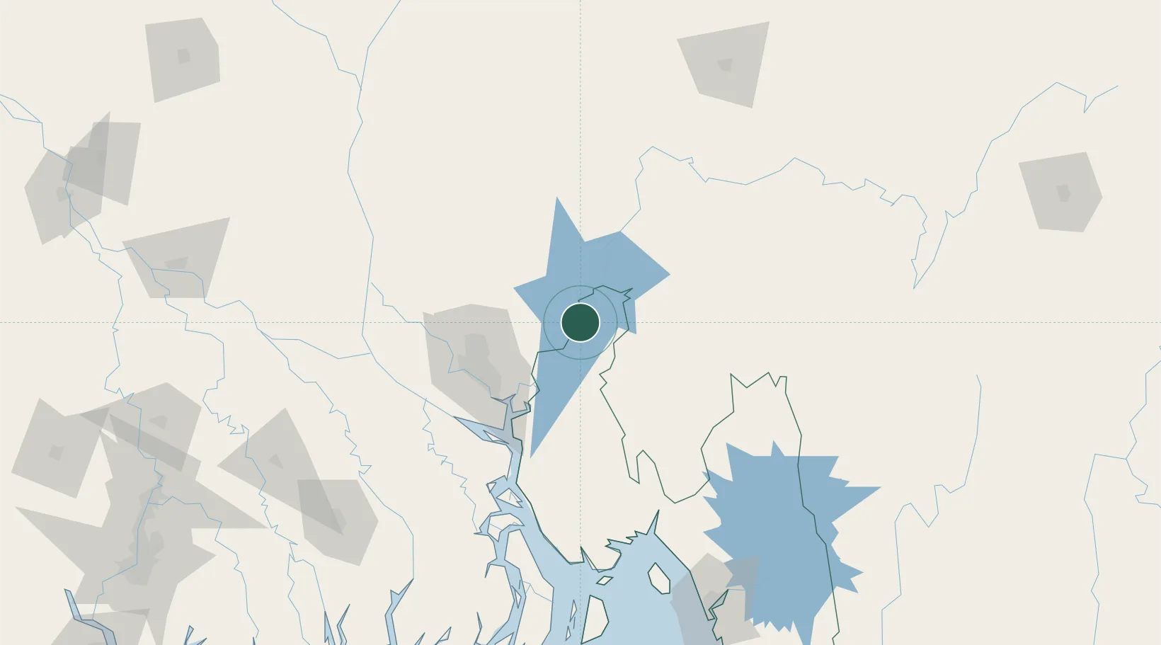
Nearby Logistics Neighbours

Cities
  1. 1Narsingdi33 km
  2. 2Tejgaon69 km
  3. 3Pangaon71 km
  4. 4Munshiganj73 km
  5. 5Narayanganj73 km
Nearest neighbours — logibook spatial index (haversine) over the source coordinates
Ports
  1. 1Chittagong208 km
  2. 2Mongla227 km
  3. 3Calcutta320 km
  4. 4Haldia Port375 km
  5. 5Sittwe475 km
Nearest neighbours — logibook spatial index (haversine) over the source coordinates
Airports
  1. 1Agartala - Maharaja Bir Bikram Airport28 km
  2. 2Hazrat Shahjalal International Airport66 km
  3. 3Kailashahar Airport105 km
  4. 4Osmany International Airport135 km
  5. 5Barisal Airport155 km
Nearest neighbours — logibook spatial index (haversine) over the source coordinates
Trade Zones
  1. 1Ashuganj Economic Zone4 km
  2. 2Bgmea Garments Industries Park37 km
  3. 3Hoshendi Economic Zone37 km
  4. 4Kishoreganj Economic Zone (Nitol Motors Ltd.)44 km
  5. 5Araihazar Economic Zone - 247 km
Nearest neighbours — logibook spatial index (haversine) over the source coordinates
DatabookThe Record of Consolidated Knowledge
Bangladesh beyond logistics?
Browse databook

All Sources

LocationsUN/LOCODE
UN/LOCODE — free
Portsthe NGA World Port Index
Public domain (US gov)
AirportsOurAirports
Public domain
Trade Zonesthe World Bank SEZ database
CC BY 4.0
Trade ZonesOpen Zone Map
CC BY
← Bangladesh locations