Transport Functions
Multimodal
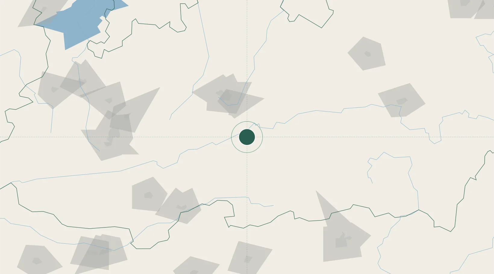
Hub Profile
Region
MP
Logistics facilities
1
Location
Nearby Logistics Neighbours
Cities
- 1Dhannad/Indore197 km
- 2IIPL SEZ/Indore197 km
- 3INFOSYS SEZ/Indore197 km
- 4TCS SEZ/Indore197 km
- 5Indore210 km
Ports
- 1Magdalla543 km
- 2Dahej548 km
- 3Hazira557 km
- 4Bhavnagar577 km
- 5Jawaharlal Nehru Port (Nhava Shiva)648 km
Airports
Trade Zones
DatabookThe Record of Consolidated Knowledge
India beyond logistics?