UN/LOCODE hub · Russia
RUPRA
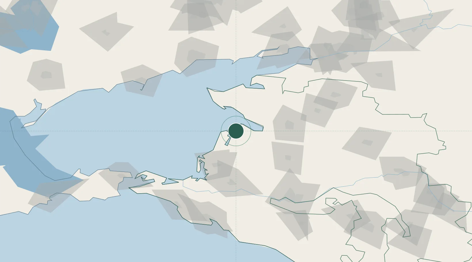
Primorsko-Akhtarsk
46.0333°, 38.1667°
33,102
Population
1
Transport functions
Transport Functions
Multimodal
Hub Profile
Place type
Provincial seat
Region
Krasnodar Krai
Population
33,102
Time zone
Europe/Moscow
Elevation
6 m
Location
Nearby Logistics Neighbours
Cities
- 1Timashevsk75 km
- 2Temryuk106 km
- 3Mariupol124 km
- 4Krymsk125 km
- 5Abinsk130 km
Ports
- 1Yeysk78 km
- 2Temryuk99 km
- 3Mariupol125 km
- 4Berdyansk133 km
- 5Kavkaz Oil Terminal141 km
Airports
- 1Yeysk Airport72 km
- 2Krymsk Air Base120 km
- 3Krasnodar Central Air Base122 km
- 4Mariupol International Airport128 km
- 5Anapa Vityazevo Airport131 km
Trade Zones
DatabookThe Record of Consolidated Knowledge
Russia beyond logistics?