Transport Functions
Port
Hub Profile
Region
23
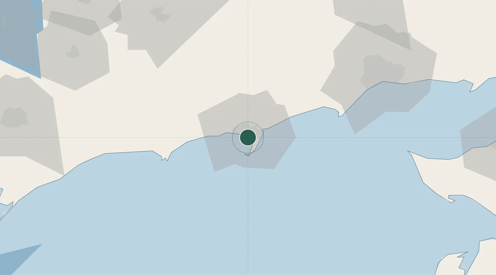
Location
Nearby Logistics Neighbours
Cities
- 1Mariupol65 km
- 2Polohy90 km
- 3Orikhiv116 km
- 4Plodorodnoye119 km
- 5Primorsko-Akhtarsk134 km
Ports
- 1Mariupol71 km
- 2Yeysk114 km
- 3Kerch157 km
- 4Kavkaz Oil Terminal158 km
- 5Temryuk162 km
Airports
- 1Berdyansk Airport7 km
- 2Mariupol International Airport63 km
- 3Yeysk Airport110 km
- 4Melitopol Air Base112 km
- 5Zaporizhzhia International Airport166 km
DatabookThe Record of Consolidated Knowledge
Ukraine beyond logistics?