Transport Functions
Rail
Road
Hub Profile
Place type
Provincial seat
Region
Zaporizhzhia
Population
18,111
Time zone
Europe/Kyiv
Elevation
102 m
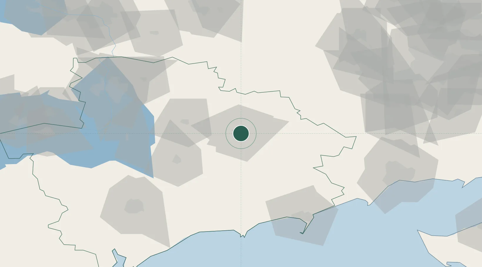
Location
Nearby Logistics Neighbours
Cities
- 1Orikhiv36 km
- 2Plodorodnoye79 km
- 3Zaporizhzhia85 km
- 4Berdiansk90 km
- 5Mariupol106 km
Airports
- 1Zaporizhzhia International Airport82 km
- 2Berdyansk Airport84 km
- 3Melitopol Air Base98 km
- 4Mariupol International Airport101 km
- 5Dnipro International Airport130 km
DatabookThe Record of Consolidated Knowledge
Ukraine beyond logistics?