Runway & Layout

Airport Specifications
ICAO code
UKDM
Airport class
Medium airport
Scheduled service
No
Served city
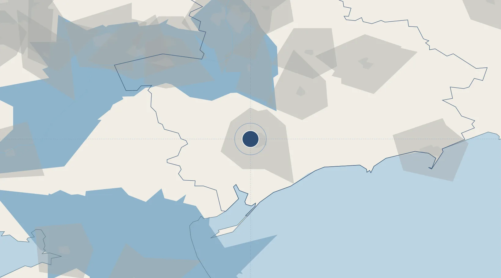
Melitopol
Location
Nearby Logistics Neighbours
Airports
- 1Zaporizhzhia International Airport110 km
- 2Berdyansk Airport111 km
- 3Dzhankoy Air Base148 km
- 4Mariupol International Airport164 km
- 5Dnipro International Airport165 km
Cities
- 1Plodorodnoye32 km
- 2Orikhiv83 km
- 3Polohy98 km
- 4Zaporizhzhia108 km
- 5Berdiansk112 km
Ports
- 1Berdyansk113 km
- 2Mariupol173 km
- 3Kerch193 km
- 4Kavkaz Oil Terminal201 km
- 5Skadovs'k202 km
DatabookThe Record of Consolidated Knowledge
Ukraine beyond logistics?