Medium airport · Russia

Vanavara AirportUNIW
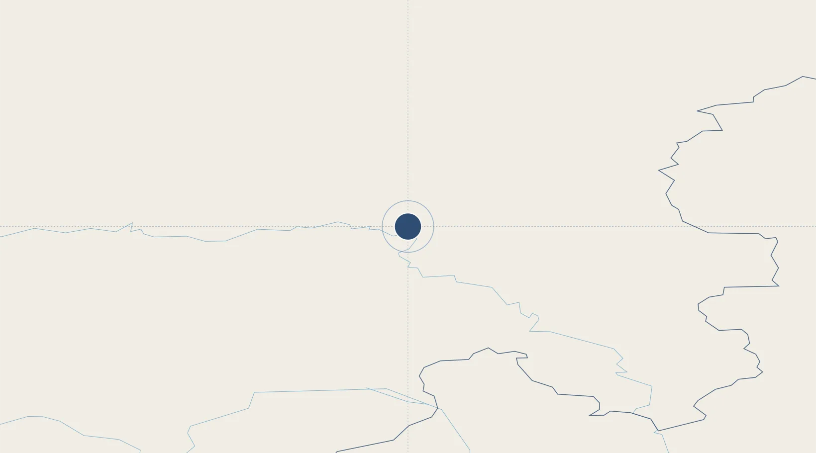
60.3562°, 102.3096°
4,592 ft
Longest runway
1
Runways
892 ft
Elevation

Runway & Layout

Vanavara Airport runway & taxiway layout
Runway & taxiway layout — OpenStreetMap (ODbL) / OurAirports

Runways · 1

RunwayDimensions SurfaceTrue headingLit
06/24 4,592 × 72ft Concrete
OurAirports

Airport Specifications

IATA code
VAQ
OurAirports
ICAO code
UNIW
OurAirports
Airport class
Medium airport
OurAirports
Scheduled service
Yes
OurAirports
Runway surface
Concrete
OurAirports
Served city
Vanavara
OurAirports

Location

Location of UNIW
Natural Earth 10m (public domain) · Krasnoyarsk · UNIW · 60.36, 102.31GoogleOSMYandex

Nearby Logistics Neighbours

Airports
  1. 1Baykit Airport353 km
  2. 2Ust-Kut Airport437 km
  3. 3Zheleznogorsk Airport443 km
  4. 4Bratsk Airport445 km
  5. 5Tura Mountain Airport453 km
Nearest neighbours — logibook spatial index (haversine) over the source coordinates
Cities
  1. 1Vear137 km
  2. 2Kota Sarang Semut429 km
  3. 3Neftelensk433 km
  4. 4Borisova435 km
  5. 5Kirensk439 km
Nearest neighbours — logibook spatial index (haversine) over the source coordinates
Ports
  1. 1Igarka1096 km
  2. 2Dudinka1254 km
  3. 3Port Dikson1721 km
  4. 4Jinzhou Wan2532 km
  5. 5Huludao Gang2533 km
Nearest neighbours — logibook spatial index (haversine) over the source coordinates
Trade Zones
  1. 1Baikal Gates Special Economic Zone989 km
  2. 2Baikal Haven Touristic Zone1004 km
  3. 3Tomsk Technology Innovative Special Economic Zone1090 km
  4. 4Altanbulag Special Economic Zone1148 km
  5. 5Altai Valley Special Economic Zone1395 km
Nearest neighbours — logibook spatial index (haversine) over the source coordinates
DatabookThe Record of Consolidated Knowledge
Russia beyond logistics?
Browse databook

All Sources

AirportsOurAirports
Public domain
Portsthe NGA World Port Index
Public domain (US gov)
LocationsUN/LOCODE
UN/LOCODE — free
Trade Zonesthe World Bank SEZ database
CC BY 4.0
Trade ZonesOpen Zone Map
CC BY
InfrastructureOpenStreetMap
ODbL 1.0
← Russia airports