Medium airport · Congo - Kinshasa

Bukavu Kavumu AirportFZMA
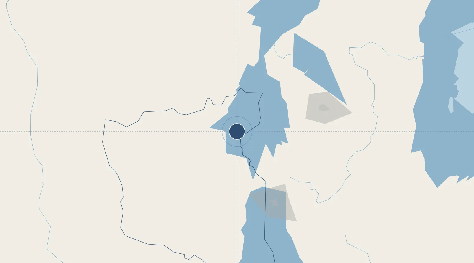
-2.3090°, 28.8088°
6,562 ft
Longest runway
1
Runways
5,643 ft
Elevation

Runway & Layout

Bukavu Kavumu Airport runway & taxiway layout
Runway & taxiway layout — OpenStreetMap (ODbL) / OurAirports

Radio Frequencies

TWR
118.9 MHz
RDO
118.1 MHz
OurAirports

Navaids

BKV NDB Bukavu 255 kHz
OurAirports

Runways · 1

RunwayDimensions SurfaceTrue headingLit
17/35 6,562 × 148ft Asphalt 164°
OurAirports

Airport Specifications

IATA code
BKY
OurAirports
ICAO code
FZMA
OurAirports
Airport class
Medium airport
OurAirports
Scheduled service
No
OurAirports
Runway surface
Asphalt
OurAirports
Served city
Kamakombe
OurAirports

Location

Location of FZMA
Natural Earth 10m (public domain) · Sud-Kivu · FZMA · -2.31, 28.81GoogleOSMYandex

Nearby Logistics Neighbours

Airports
  1. 1Kamembe Airport20 km
  2. 2Goma International Airport86 km
  3. 3Gisenyi Airport86 km
  4. 4Bujumbura Melchior Ndadaye International Airport126 km
  5. 5Kirundo Airport145 km
Nearest neighbours — logibook spatial index (haversine) over the source coordinates
Cities
  1. 1Cibitoke130 km
  2. 2Mutara147 km
  3. 3Nyagatare203 km
  4. 4Kibondo255 km
  5. 5Kasulu289 km
Nearest neighbours — logibook spatial index (haversine) over the source coordinates
Ports
  1. 1Tanga1185 km
  2. 2Mombasa1221 km
  3. 3Zanzibar1228 km
  4. 4Kilifi1237 km
  5. 5Malindi1262 km
Nearest neighbours — logibook spatial index (haversine) over the source coordinates
Trade Zones
  1. 1Rusizi Industrial Park41 km
  2. 2Huye Industrial Park102 km
  3. 3Muhanga Industrial Park108 km
  4. 4Nyabihu Industrial Park110 km
  5. 5Musanze Industrial Park114 km
Nearest neighbours — logibook spatial index (haversine) over the source coordinates
DatabookThe Record of Consolidated Knowledge
Congo - Kinshasa beyond logistics?
Browse databook

All Sources

AirportsOurAirports
Public domain
Portsthe NGA World Port Index
Public domain (US gov)
LocationsUN/LOCODE
UN/LOCODE — free
Trade Zonesthe World Bank SEZ database
CC BY 4.0
Trade ZonesOpen Zone Map
CC BY
InfrastructureOpenStreetMap
ODbL 1.0
← Congo - Kinshasa airports