Transport Functions
Port
Airport
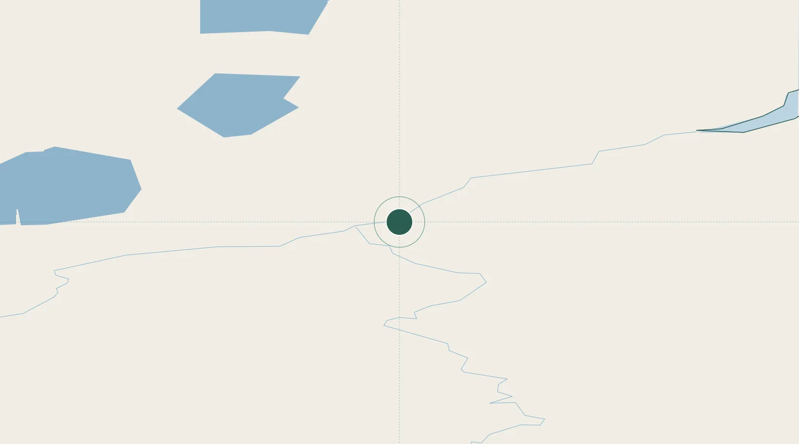
Location
Nearby Logistics Neighbours
Ports
- 1Dudinka662 km
- 2Port Dikson739 km
- 3Igarka788 km
- 4Tiksi910 km
- 5Vladivostok3576 km
Airports
- 1Khatanga Airport1 km
- 2Saskylakh Airport399 km
- 3Polyarny Airport725 km
- 4Aykhal Airport760 km
- 5Svetlogorsk Airport790 km
Trade Zones
DatabookThe Record of Consolidated Knowledge
Russia beyond logistics?