Large airport · Kazakhstan

Almaty International AirportUAAA
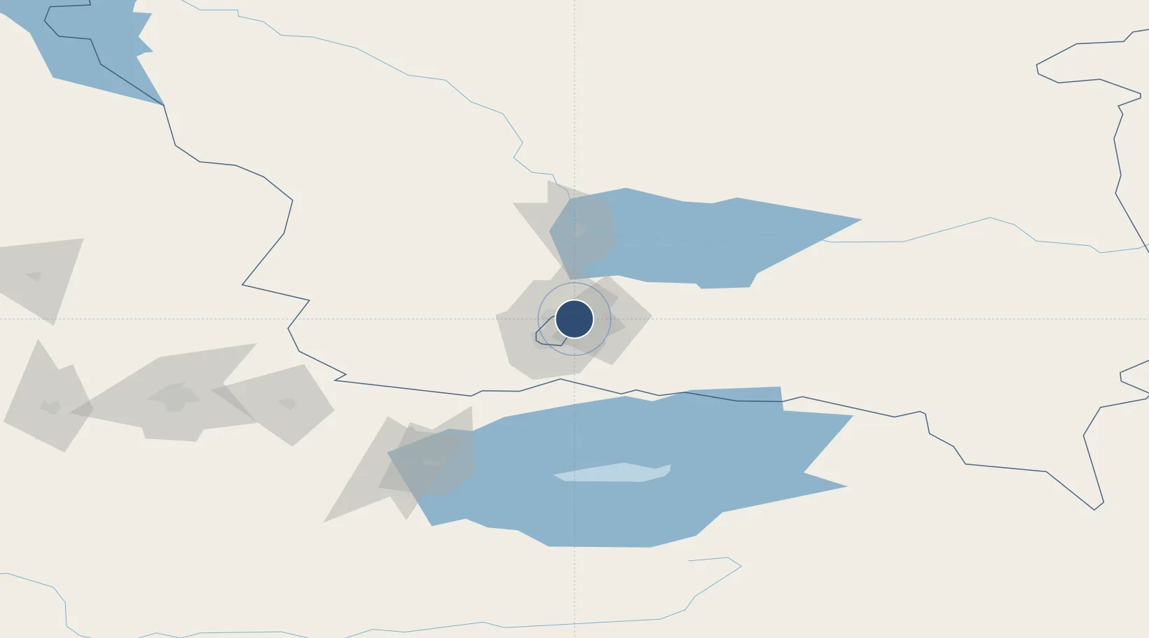
43.3543°, 77.0428°
14,764 ft
Longest runway
2
Runways
2,234 ft
Elevation

Runway & Layout

Almaty International Airport runway & taxiway layout
Runway & taxiway layout — OpenStreetMap (ODbL) / OurAirports

Radio Frequencies

ATIS
129.8 MHz
TWR
119.4 MHz
GND
121.7 MHz
APP
131.6 MHz
GCA
120.8 MHz
RADAR
OurAirports

Navaids

AL NDB Almaty 443 kHz
ALM VOR-DME Almaty 112.30 MHz
LM NDB Almaty 415 kHz
OurAirports

Runways · 2

RunwayDimensions SurfaceTrue headingLit
05L/23R 14,764 × 148ft ASPH
05R/23L 14,436 × 148ft Asphalt 056°
OurAirports

Airport Specifications

IATA code
ALA
OurAirports
ICAO code
UAAA
OurAirports
Airport class
Large airport
OurAirports
Scheduled service
Yes
OurAirports
Runway surface
ASPH
OurAirports
Served city
Almaty
OurAirports

Location

Location of UAAA
Natural Earth 10m (public domain) · Almaty · UAAA · 43.35, 77.04GoogleOSMYandex

Nearby Logistics Neighbours

Airports
  1. 1Issyk-Kul International Airport90 km
  2. 2Tamga Airport140 km
  3. 3Karakol Airport146 km
  4. 4Tokmok Airport150 km
  5. 5Kant Air Base187 km
Nearest neighbours — logibook spatial index (haversine) over the source coordinates
Cities
  1. 1Almaty9 km
  2. 2Wysox184 km
  3. 3Alamedin202 km
  4. 4Bishkek (ex Frunze)206 km
  5. 5Horgos314 km
Nearest neighbours — logibook spatial index (haversine) over the source coordinates
Ports
  1. 1Muhamamad Bin Qasim2248 km
  2. 2Karachi2259 km
  3. 3Kandla2345 km
  4. 4Navlakhi2348 km
  5. 5Mandvi2389 km
Nearest neighbours — logibook spatial index (haversine) over the source coordinates
Trade Zones
  1. 1Park of Innovative Technologies Special Economic Zone8 km
  2. 2Karakol Special Economic Zone145 km
  3. 3Bishkek Special Economic Zone210 km
  4. 4Leilek Special Economic Zone216 km
  5. 5Naryn Special Economic Zone231 km
Nearest neighbours — logibook spatial index (haversine) over the source coordinates
DatabookThe Record of Consolidated Knowledge
Kazakhstan beyond logistics?
Browse databook

All Sources

AirportsOurAirports
Public domain
Portsthe NGA World Port Index
Public domain (US gov)
LocationsUN/LOCODE
UN/LOCODE — free
Trade Zonesthe World Bank SEZ database
CC BY 4.0
Trade ZonesOpen Zone Map
CC BY
InfrastructureOpenStreetMap
ODbL 1.0
← Kazakhstan airports