Transport Functions
Multimodal
Hub Profile
Place type
Provincial seat
Region
Miranda
Population
227,666
Time zone
America/Caracas
Elevation
331 m
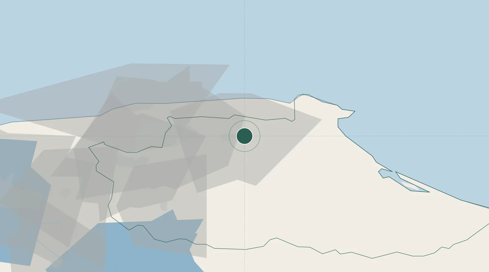
Location
Nearby Logistics Neighbours
Cities
- 1Guarenas9 km
- 2Fila de Mariches12 km
- 3El Cafetal31 km
- 4Los Anaucos41 km
- 5La Guaira47 km
Ports
- 1La Guaira47 km
- 2Catia La Mar55 km
- 3Puerto Borburata159 km
- 4Puerto Cabello160 km
- 5El Palito173 km
Airports
DatabookThe Record of Consolidated Knowledge
Venezuela beyond logistics?