Transport Functions
Multimodal
Hub Profile
Region
M
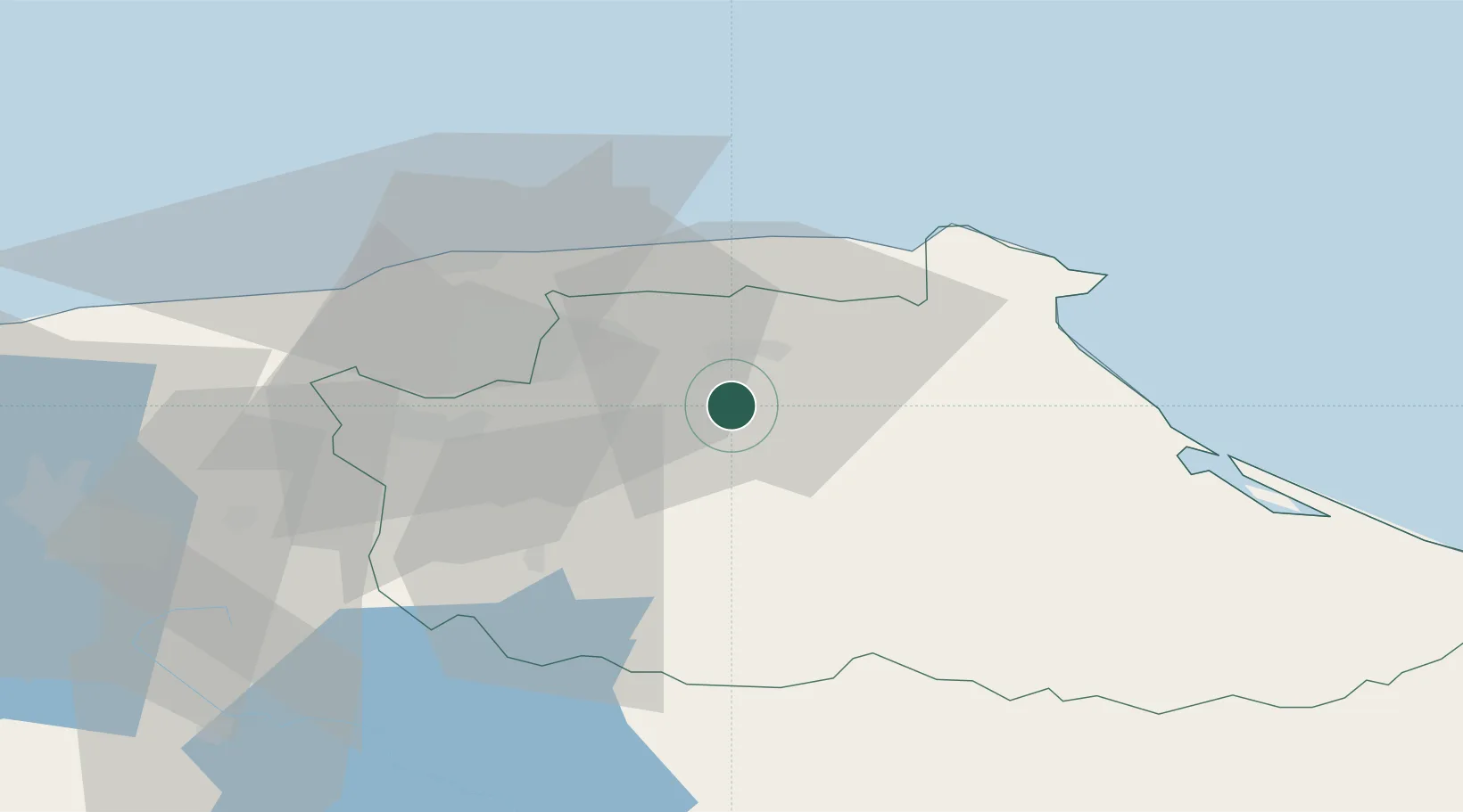
Location
Nearby Logistics Neighbours
Cities
- 1Guarenas9 km
- 2Guatire12 km
- 3El Cafetal25 km
- 4Los Anaucos31 km
- 5Paracotos40 km
Ports
- 1La Guaira45 km
- 2Catia La Mar52 km
- 3Puerto Borburata152 km
- 4Puerto Cabello154 km
- 5El Palito166 km
Airports
DatabookThe Record of Consolidated Knowledge
Venezuela beyond logistics?