Medium airport · Venezuela
Alberto Carnevalli AirportSVMD
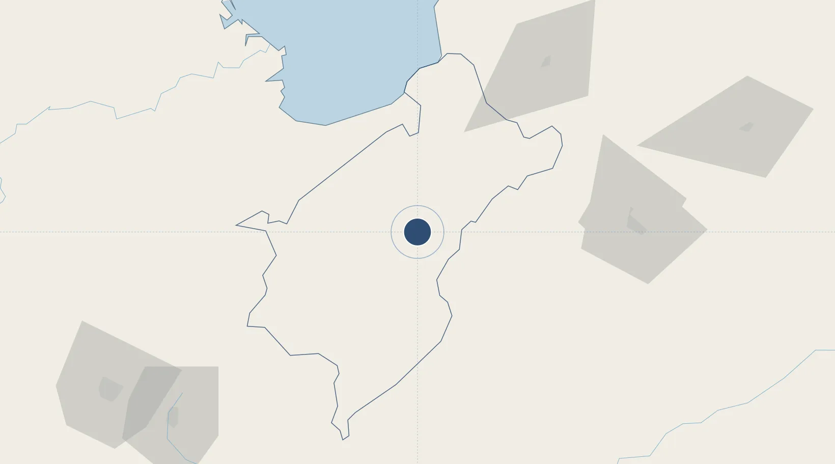
8.5821°, -71.1610°
5,348 ft
Longest runway
1
Runways
5,007 ft
Elevation
Runway & Layout

Radio Frequencies
TWR
118.05 MHz
MERIDA TWR
GND
121.9 MHz
Runways · 1
| Runway | Dimensions | Surface | True heading | Lit |
|---|---|---|---|---|
| 06/24 | 5,348 × 148ft | Asphalt | 059° | — |
Airport Specifications
IATA code
MRD
ICAO code
SVMD
Airport class
Medium airport
Scheduled service
No
Runway surface
Asphalt
Served city
Mérida
Location
Nearby Logistics Neighbours
Airports
- 1Juan Pablo Pérez Alfonso Airport56 km
- 2Miguel Urdaneta Fernández Airport96 km
- 3Barinas Airport104 km
- 4Dr. Antonio Nicolás Briceño Airport106 km
- 5La Fria Airport128 km
Cities
- 1Seboruco111 km
- 2San Lorenzo/maracaibo L134 km
- 3Ureña160 km
- 4Chiquinquirá212 km
- 5Maracaibo234 km
Ports
- 1San Lorenzo134 km
- 2La Salina201 km
- 3Bajo Grande221 km
- 4Maracaibo233 km
- 5El Tabiazo246 km
DatabookThe Record of Consolidated Knowledge
Venezuela beyond logistics?