Transport Functions
Port
Location
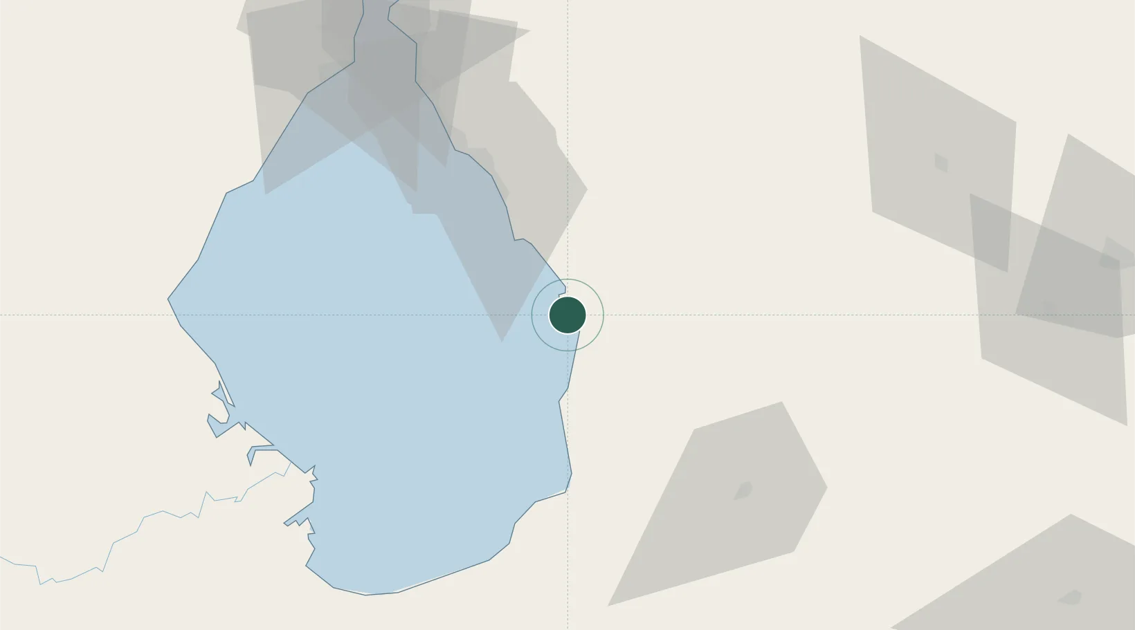
Nearby Logistics Neighbours
Cities
- 1Chiquinquirá95 km
- 2Maracaibo112 km
- 3Araure204 km
- 4La Miel208 km
- 5Seboruco214 km
Ports
- 1La Salina78 km
- 2Bajo Grande103 km
- 3Maracaibo111 km
- 4El Tabiazo121 km
- 5Puerto Miranda122 km
Airports
Trade Zones
- 1Free Zone ATUJA111 km
- 2Scientific, Cultural and Technological Free Zone of the State of Mérida (Zona Libre Cultural, Científica y Tecnológica del Estado Mérida)138 km
- 3Free Zone for the Promotion of Tourism Investment in the Paraguaná Peninsula (Zona Libre para el Fomento de la Inversión Turística de la Península de Paraguaná)244 km
- 4Paraguana SEZ253 km
- 5Urema-San Antonio Special Border Economic Zone257 km
DatabookThe Record of Consolidated Knowledge
Venezuela beyond logistics?