UN/LOCODE hub · Venezuela
VECHQ
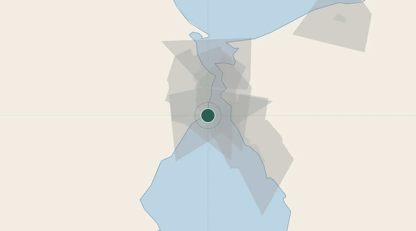
Chiquinquirá
10.4333°, -71.6333°
17,271
Population
2
Transport functions
Transport Functions
Port
Road
Hub Profile
Place type
Populated place
Region
Zulia
Population
17,271
Time zone
America/Caracas
Elevation
1 m
Location
Nearby Logistics Neighbours
Cities
- 1Maracaibo23 km
- 2San Lorenzo/maracaibo L95 km
- 3Manaure172 km
- 4Paraguana Refinery Center202 km
- 5Punta Cardón205 km
Ports
- 1Bajo Grande9 km
- 2La Salina20 km
- 3Maracaibo23 km
- 4Puerto Miranda38 km
- 5El Tabiazo39 km
Airports
Trade Zones
- 1Free Zone ATUJA16 km
- 2Brisa Free Trade Zone212 km
- 3Scientific, Cultural and Technological Free Zone of the State of Mérida (Zona Libre Cultural, Científica y Tecnológica del Estado Mérida)214 km
- 4Free Zone for the Promotion of Tourism Investment in the Paraguaná Peninsula (Zona Libre para el Fomento de la Inversión Turística de la Península de Paraguaná)217 km
- 5Paraguana SEZ235 km
DatabookThe Record of Consolidated Knowledge
Venezuela beyond logistics?